Inactive Reach: 32_2 Moorabool River
| Bank Erosion Stability | Bank Vegetation | In Stream Cover | Riffles Pools Bends | Verge Vegetation | |
|---|---|---|---|---|---|
| June 2013 | |||||
| Mistake in data entry no habitat survey undertaken with this visit | |||||
| September 2010 | |||||
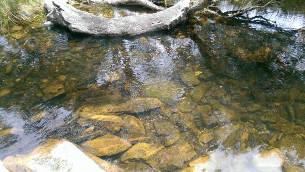
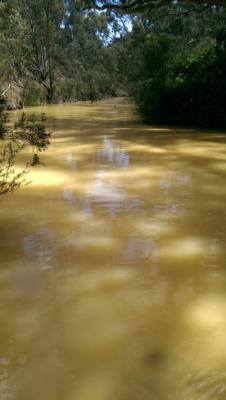
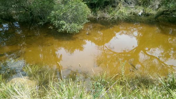
| River meanders through the Lewis' property. Property downstream of quarry. Vineyard on site but grapes are not harvested. Monitoring site is at weir (see photos). Property is visited on weekends. Middle catchment, water use - recreation, adjacent land use - native bushland, gravel mining, rural horticulture. Good riparian zone, some weeds such as blackberry but control measures are in place. | |||||
| Date | Taxa Count | Total score | Rating |
|---|---|---|---|
| October 2012 | 40 | 26 | |
| October 2011 | 26 | 36 | |
| September 2010 | 44 | 14 |
Dissolved Oxygen mg/LExplain for me 04-09-2010 to 20-04-2019
8.00 mg/L
Median 6.75mg/L Latest |
Temperature - WATERExplain for me 04-09-2010 to 20-04-2019
14.0 ° C
Median 10.0° C Latest |
pHExplain for me 04-09-2010 to 20-04-2019
7.60 pH Units
Median 7.00pH Units Latest |
Electrical ConductivityExplain for me 04-09-2010 to 17-09-2016
890.00 µS/cm
Median 520.00µS/cm Latest |
Reactive Phosphate (mg/L)Explain for me 04-09-2010 to 20-04-2019
0.030 mg/L P
Median 0.030mg/L P Latest |
Dissolved Oxygen % SaturationExplain for me 04-09-2010 to 20-04-2019
85 %
Median 60% Latest |
Turbidity - NTUExplain for me 04-09-2010 to 17-09-2016
11 NTU
Median 90NTU Latest |
 All content, files, data and images provided by the WaterWatch Data Portal subject to a Creative Commons Attribution License
Data portal by CeRDI
All content, files, data and images provided by the WaterWatch Data Portal subject to a Creative Commons Attribution License
Data portal by CeRDI