Active
| CO_Moorabool Catchment Monitors |
| Bank Erosion Stability | Bank Vegetation | In Stream Cover | Riffles Pools Bends | Verge Vegetation | |
|---|---|---|---|---|---|
| January 2026 | Poor | Poor | Poor | Fair | VeryPoor |
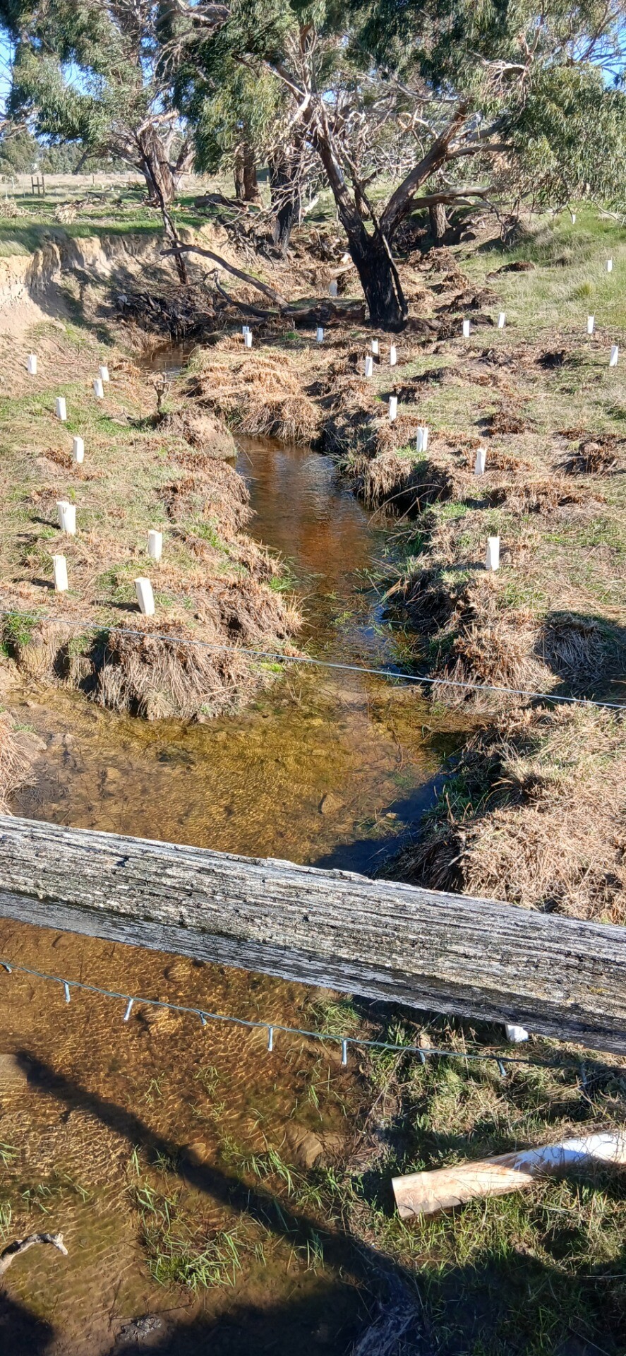
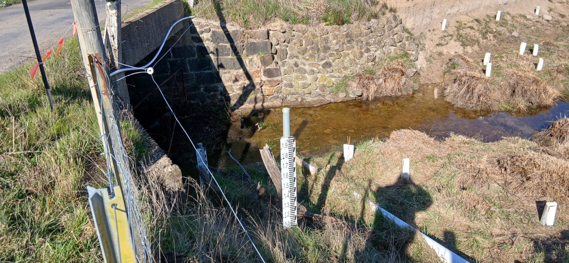
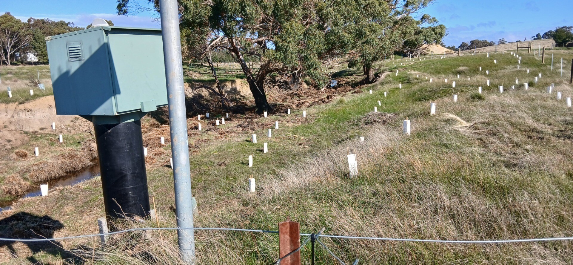
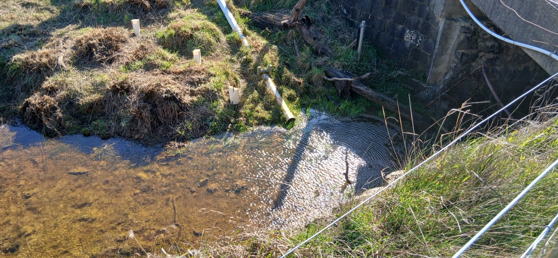
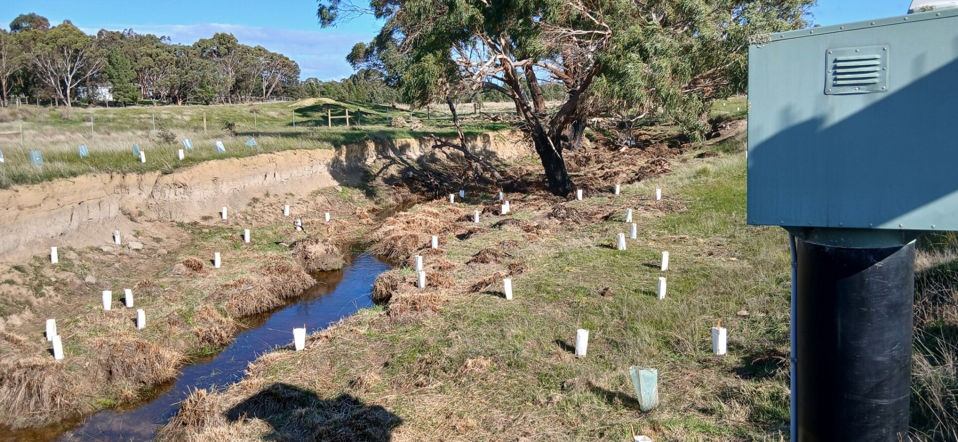
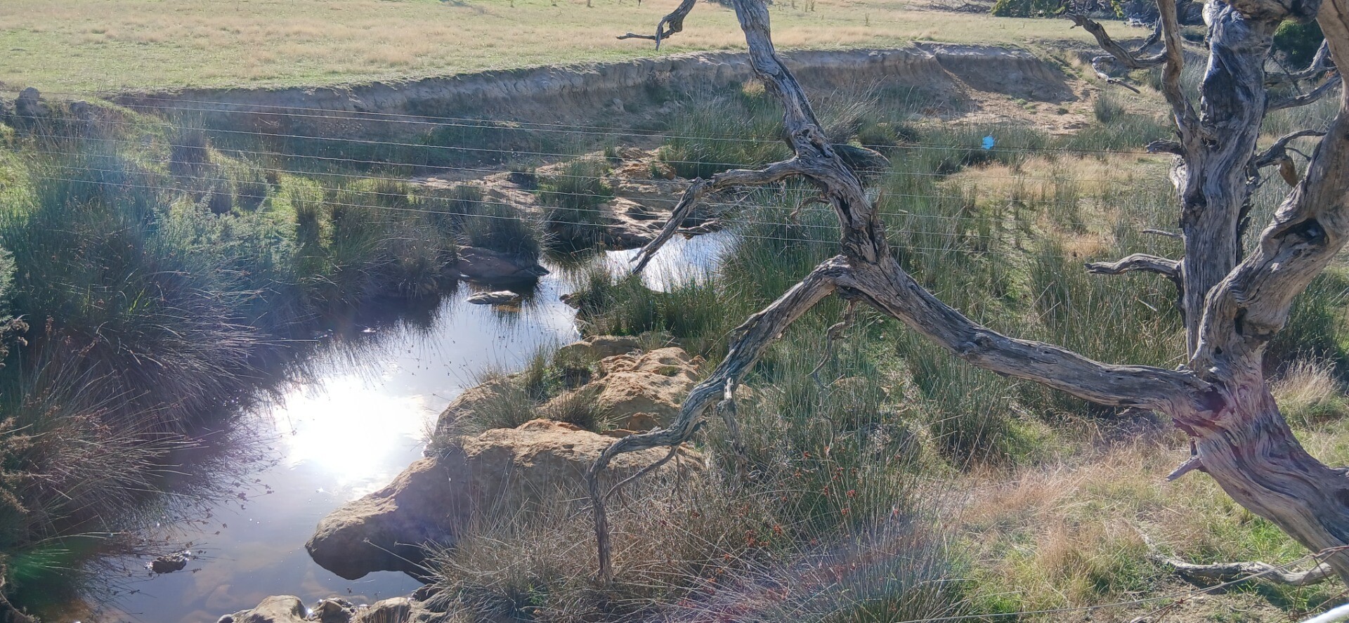
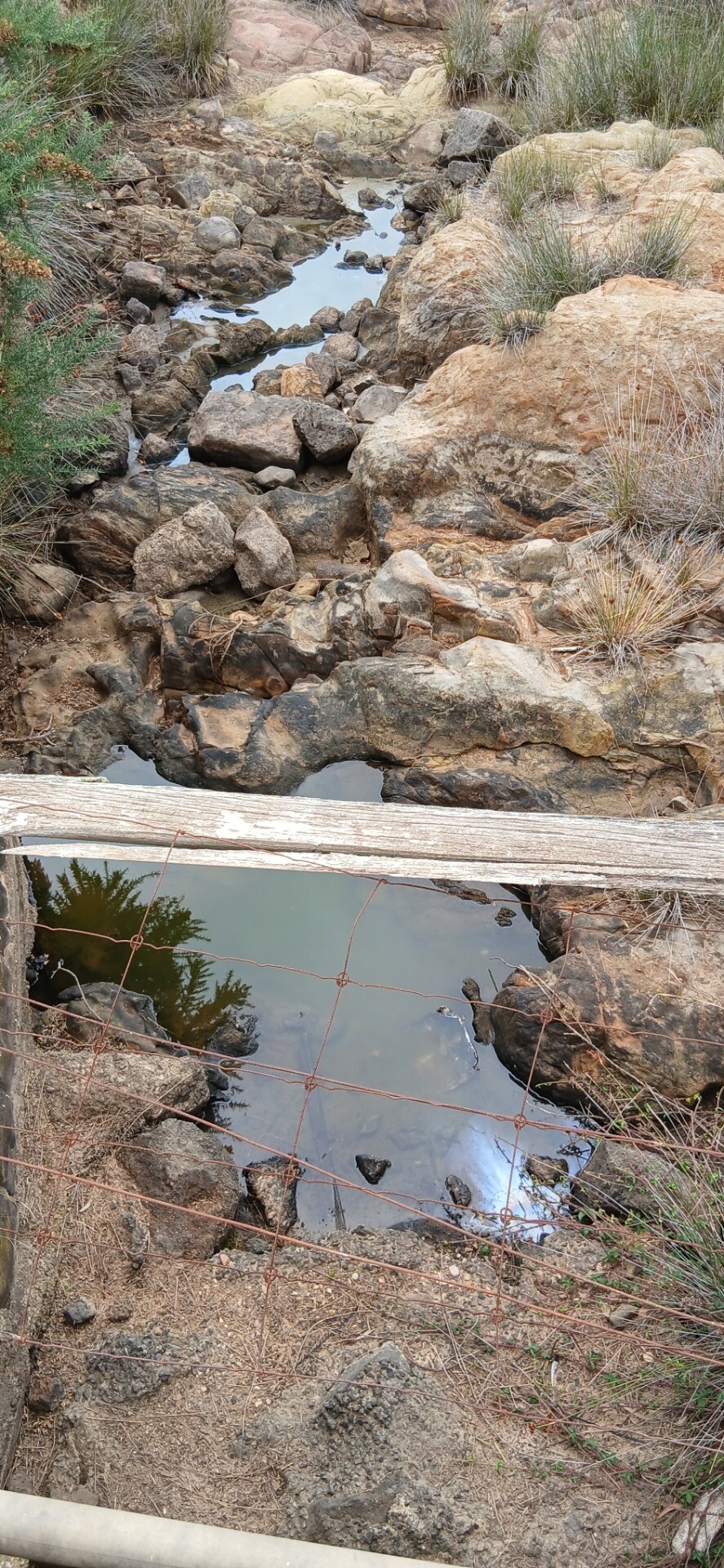
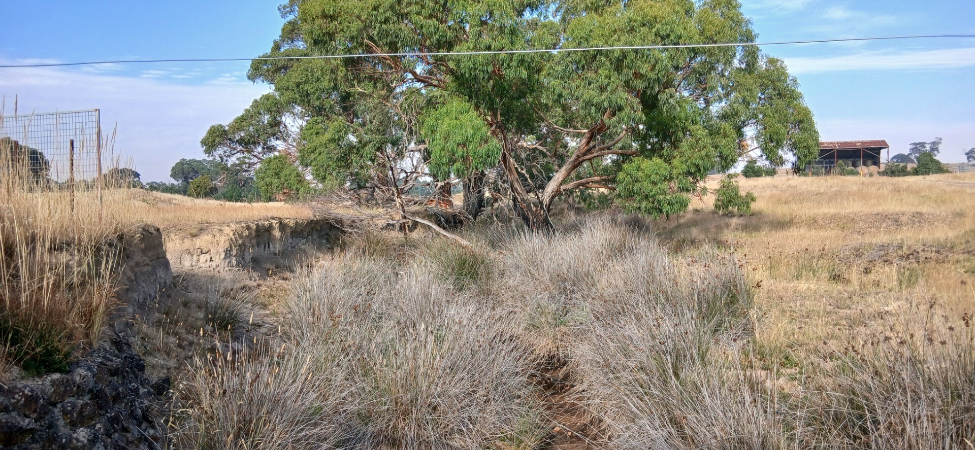
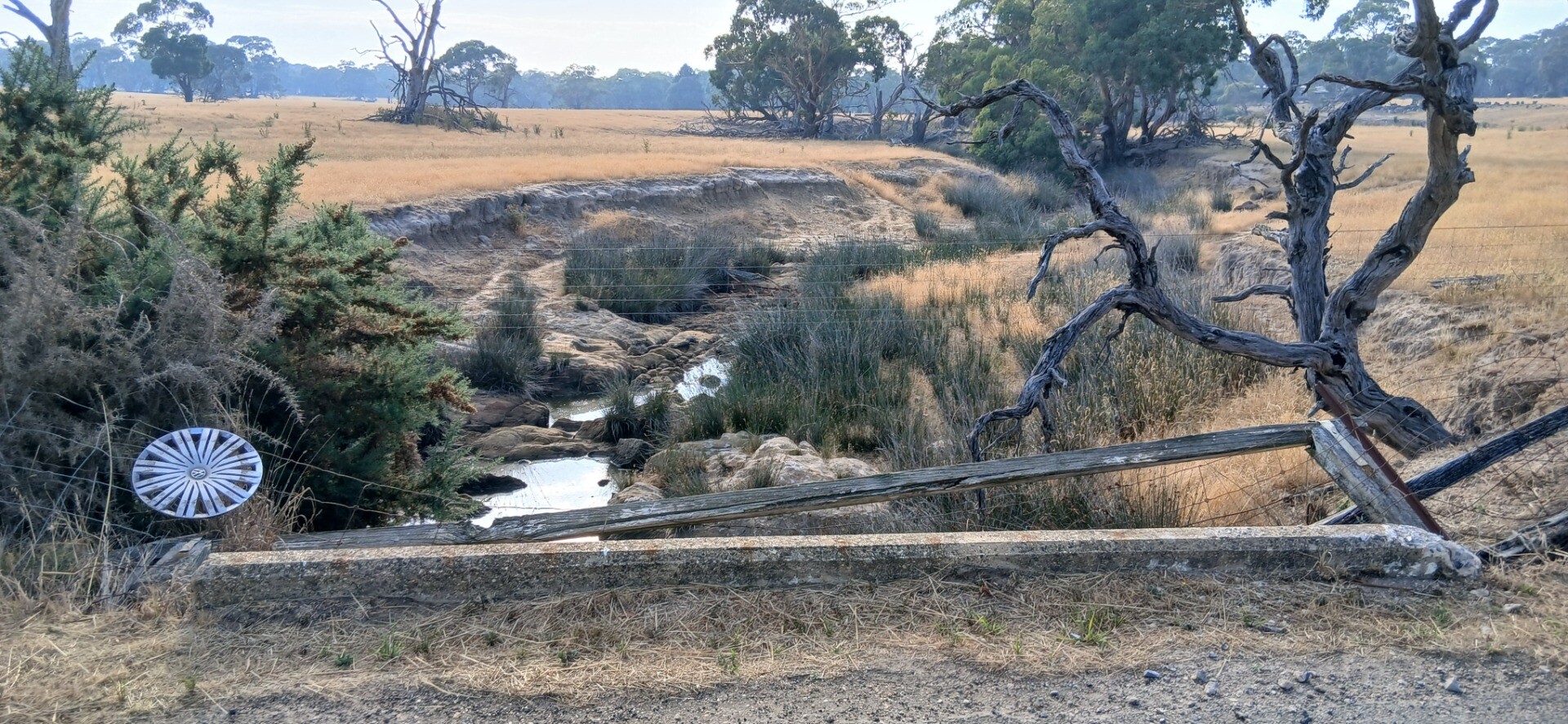
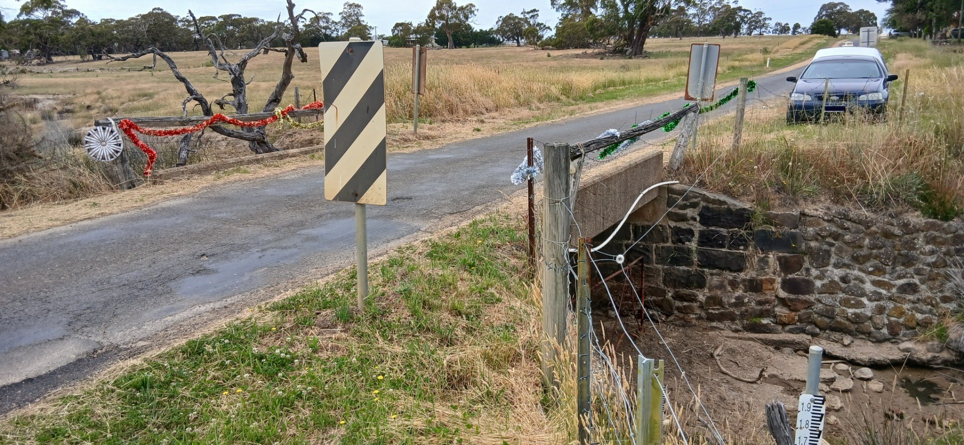
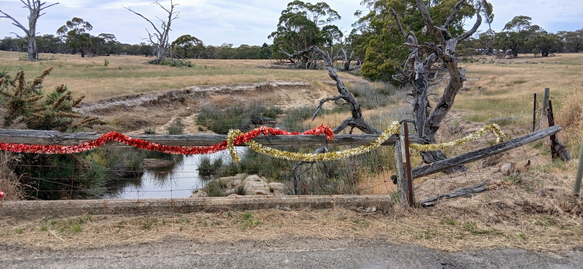
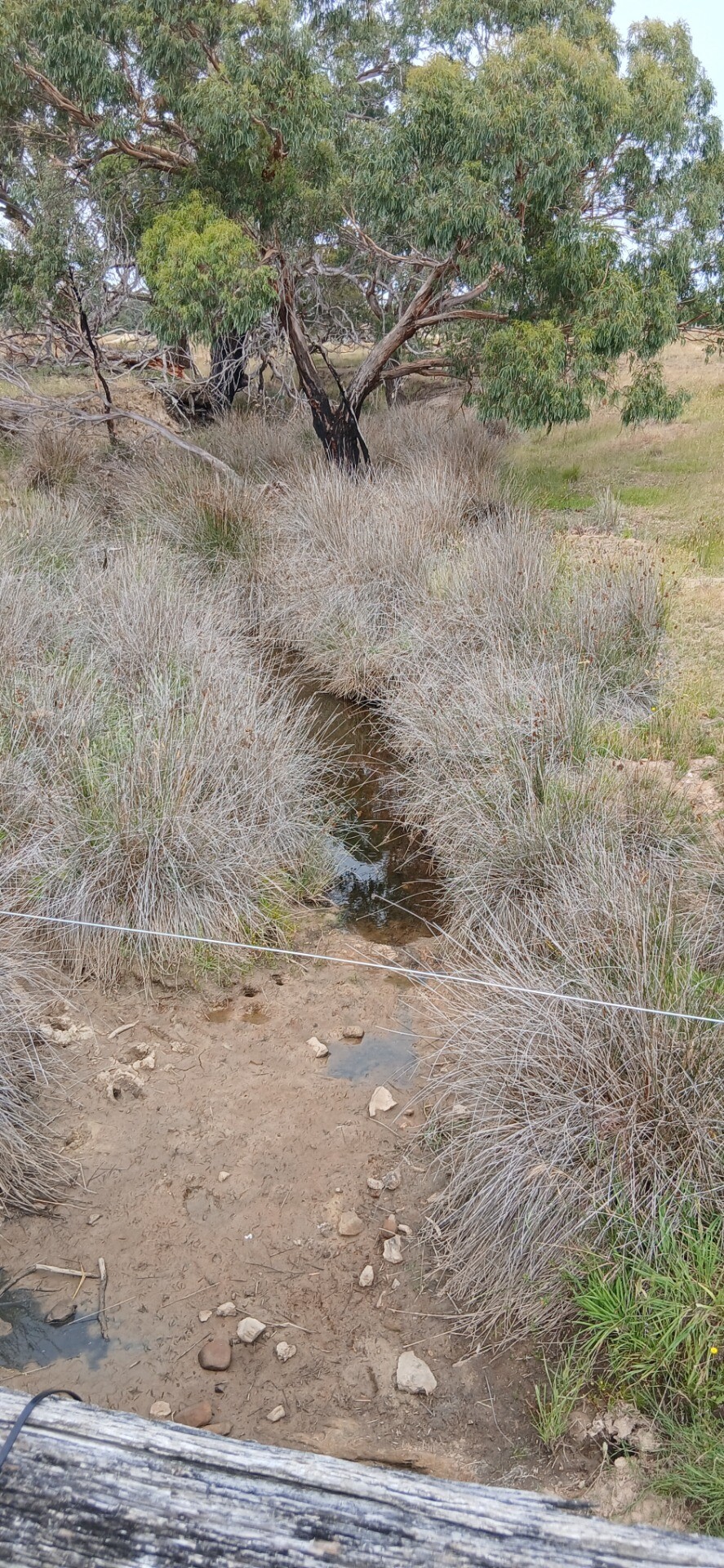
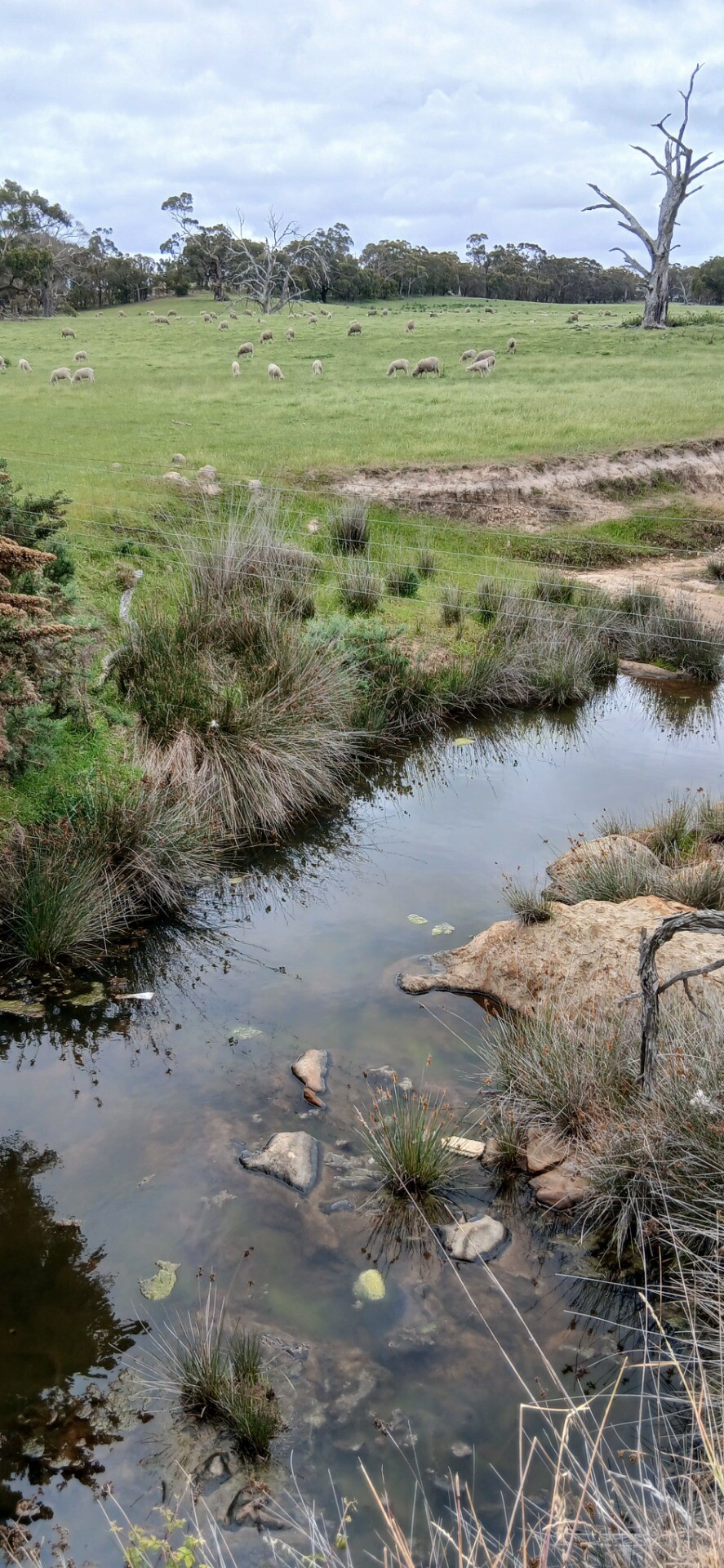
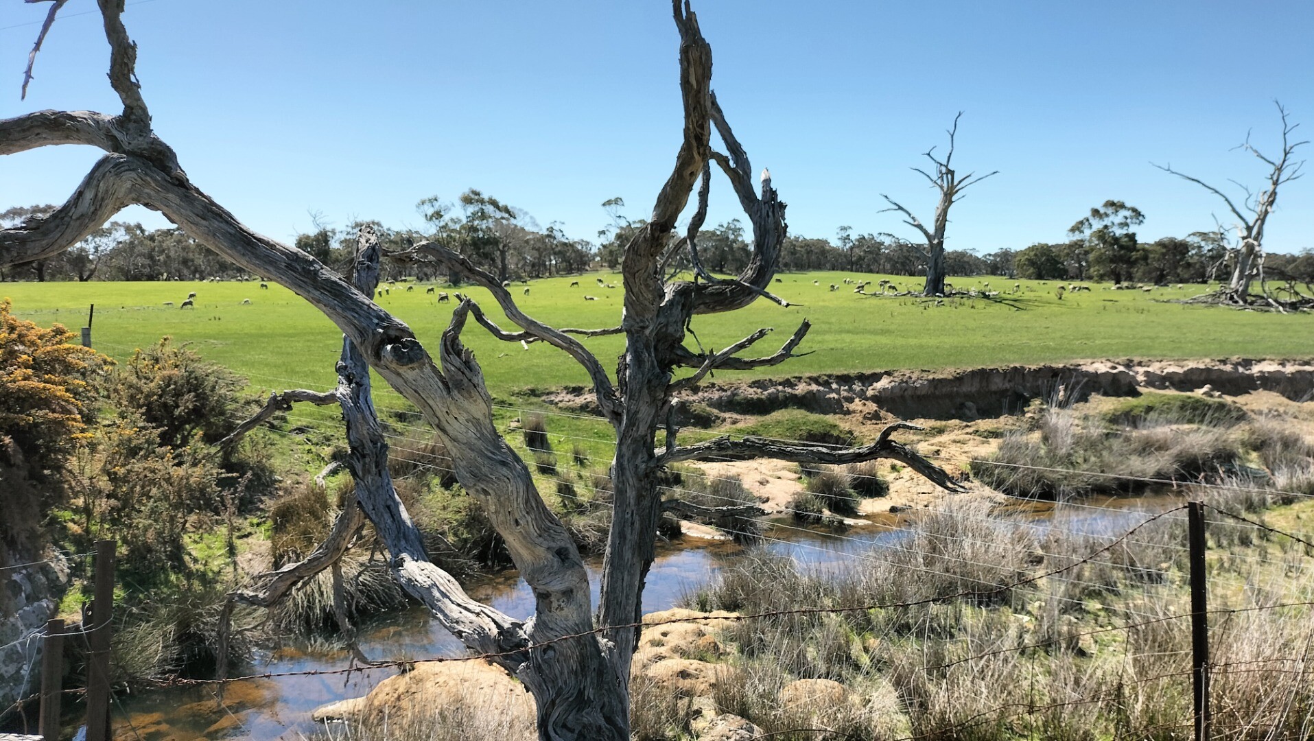
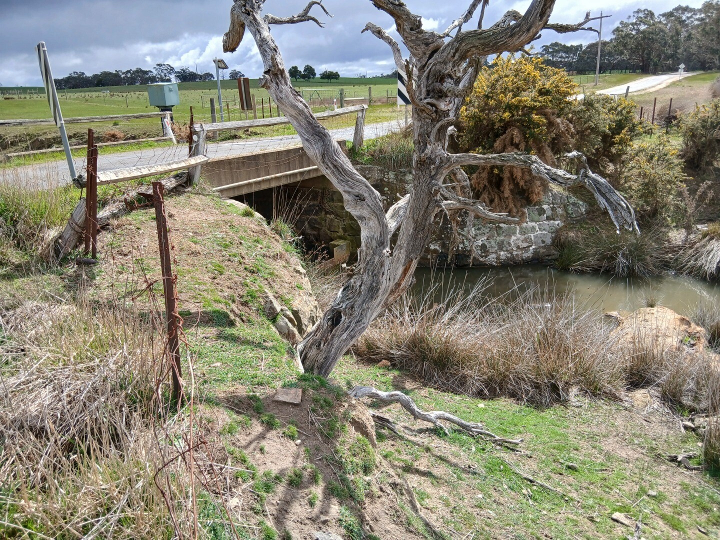
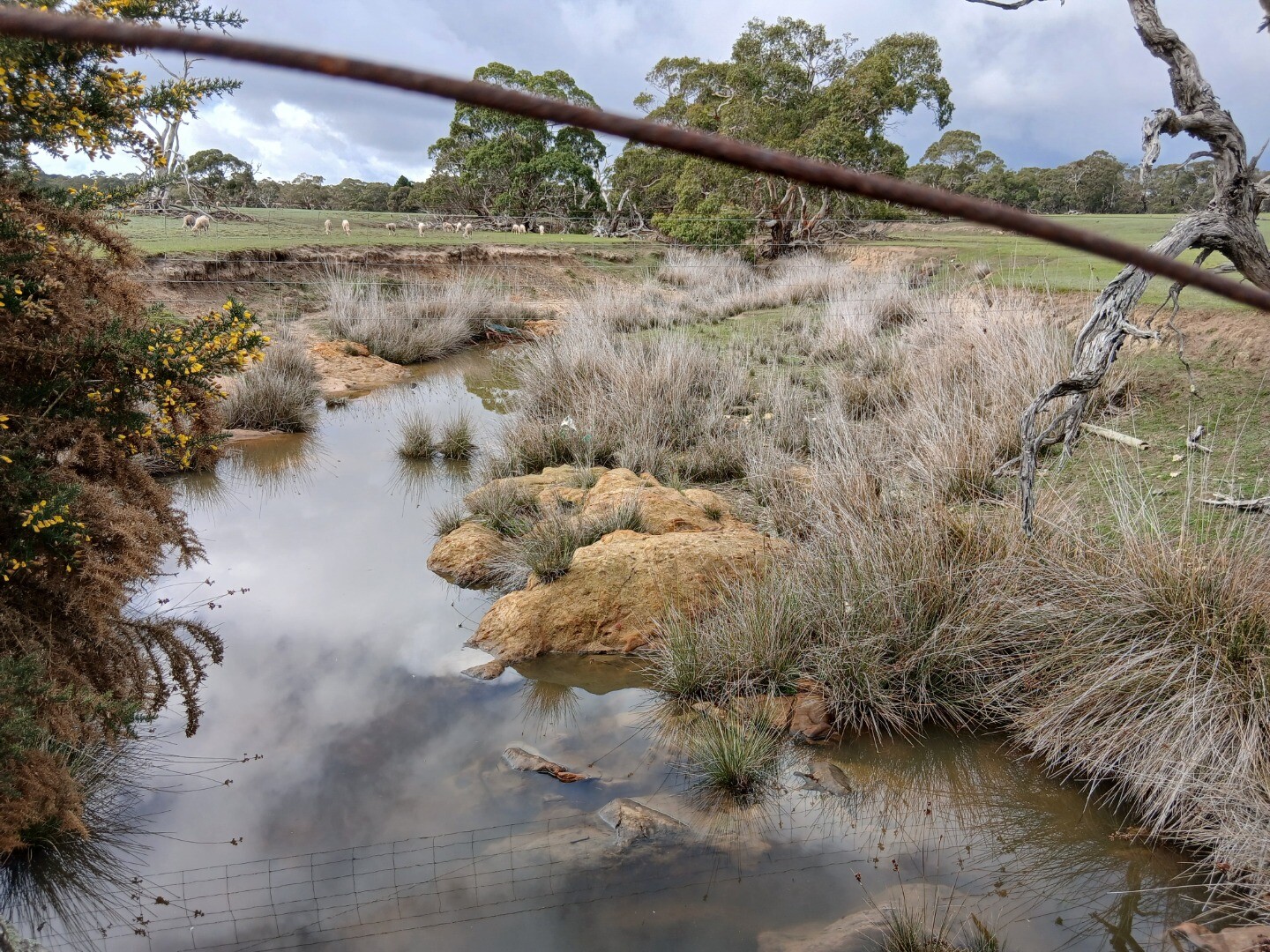
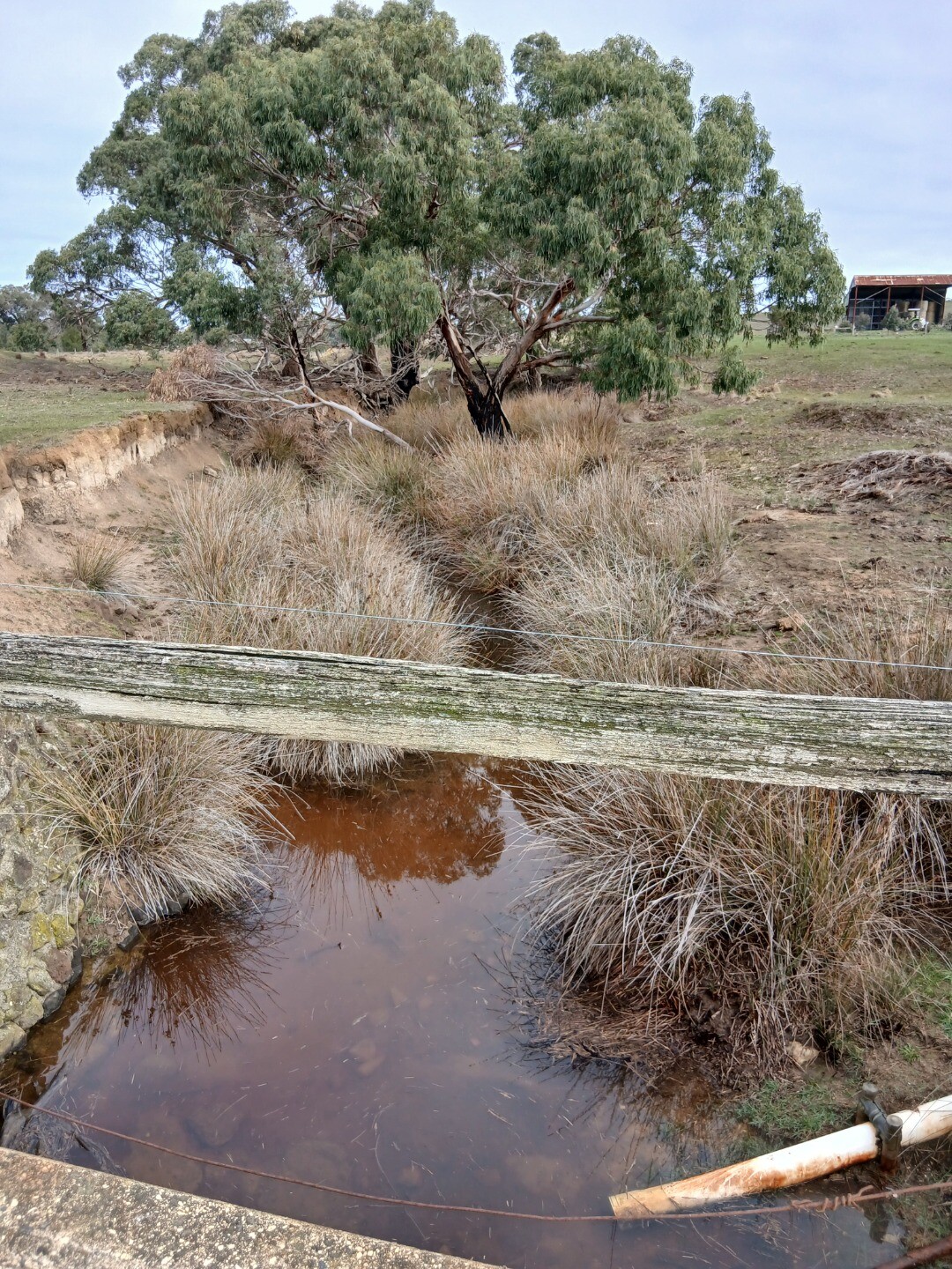
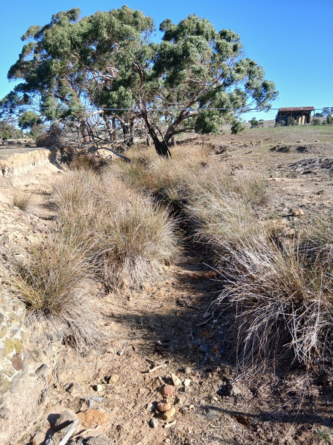
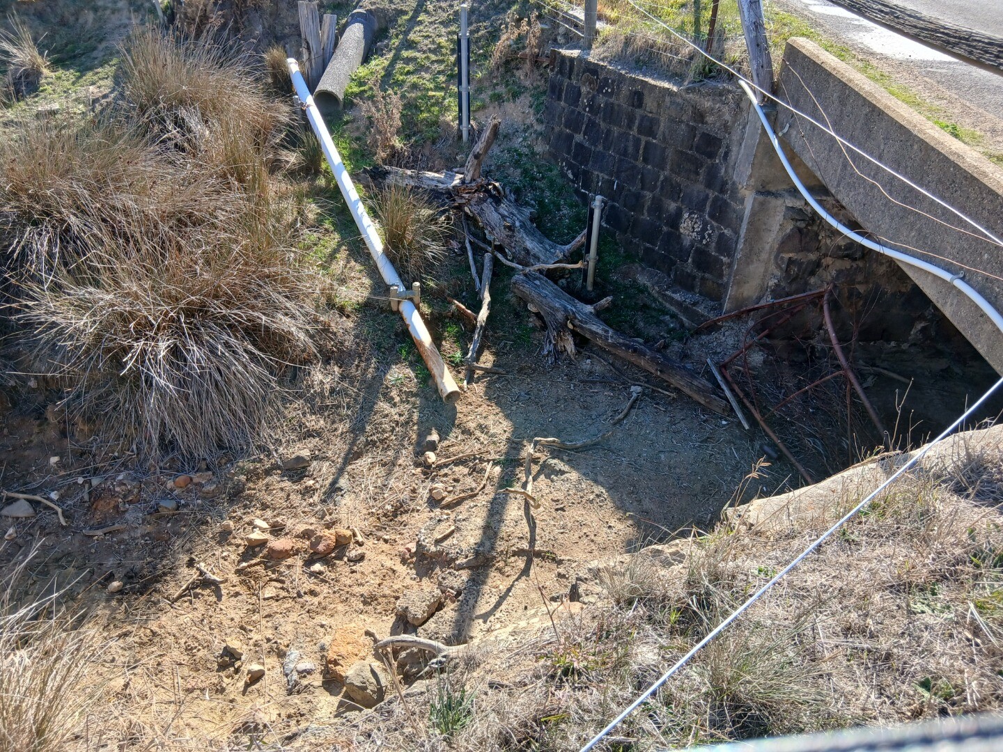
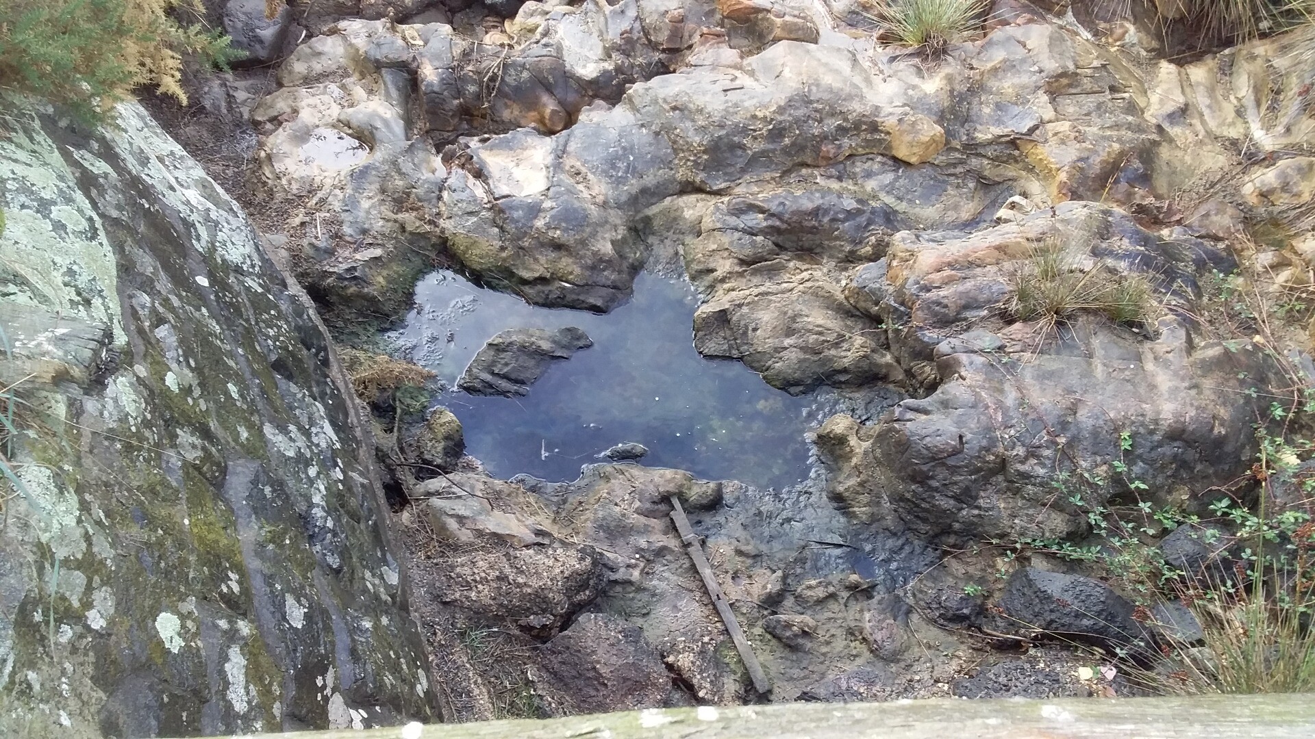
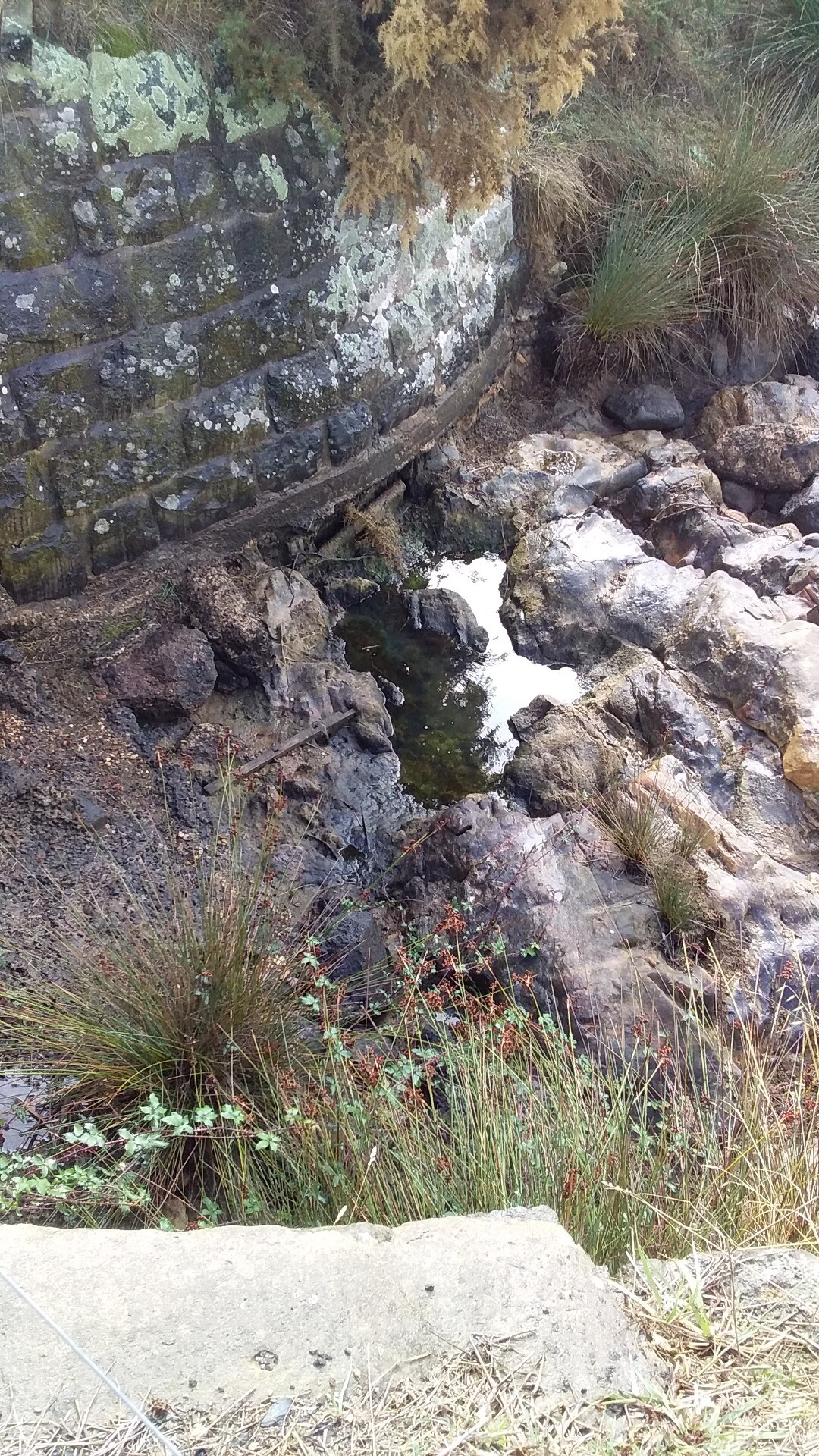
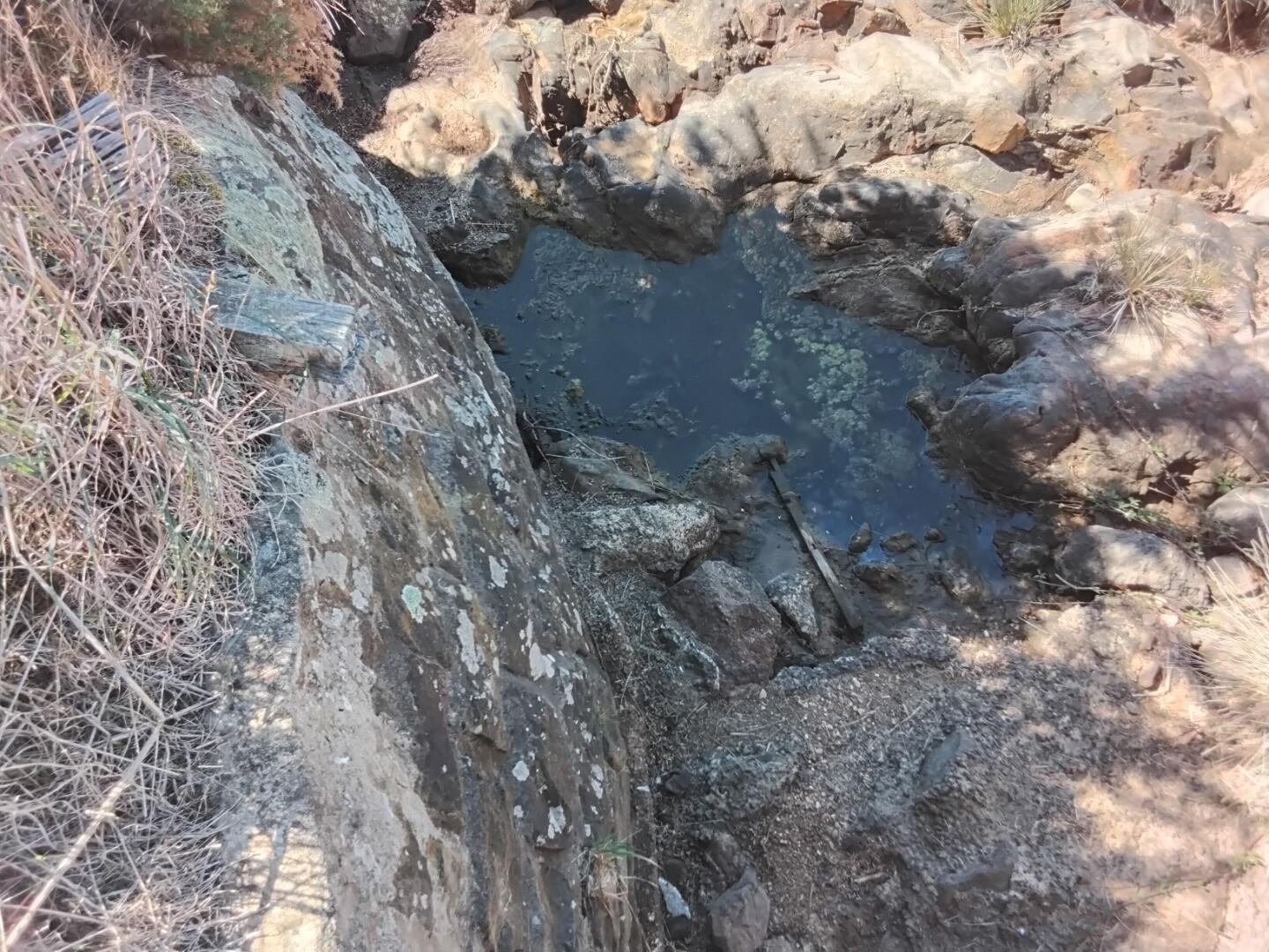
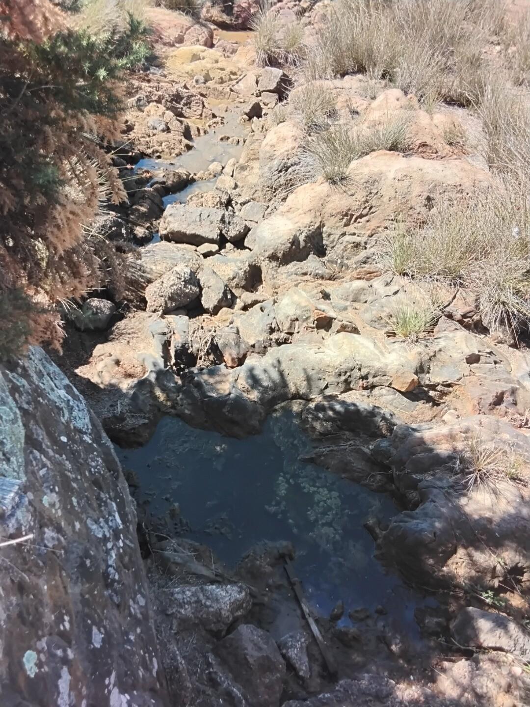
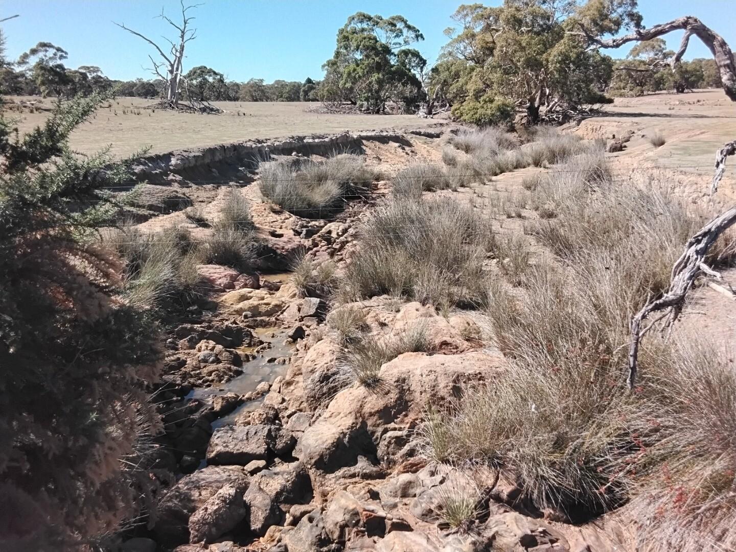
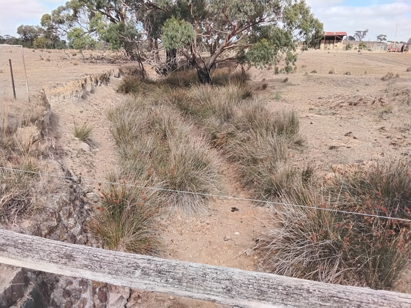
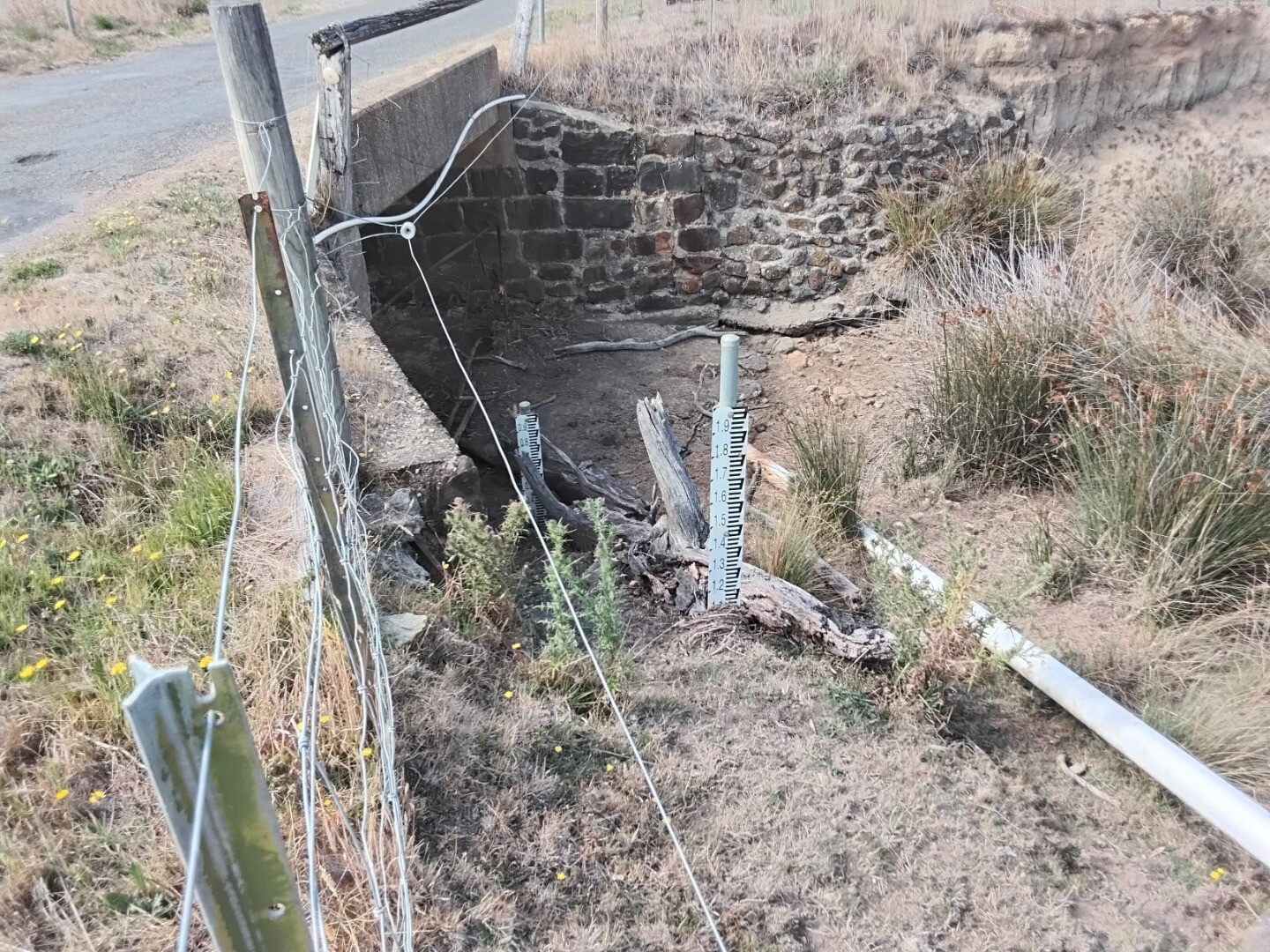
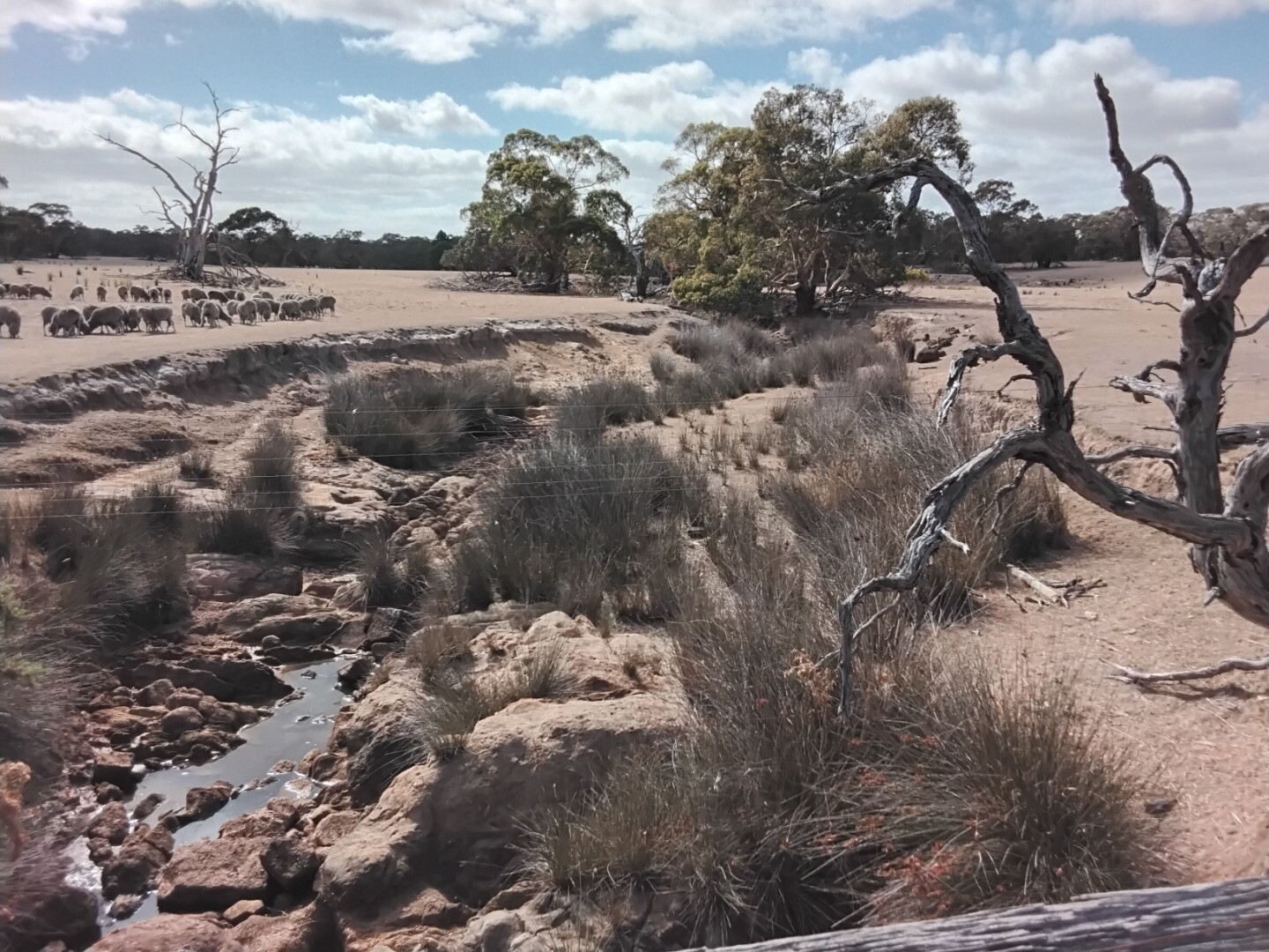
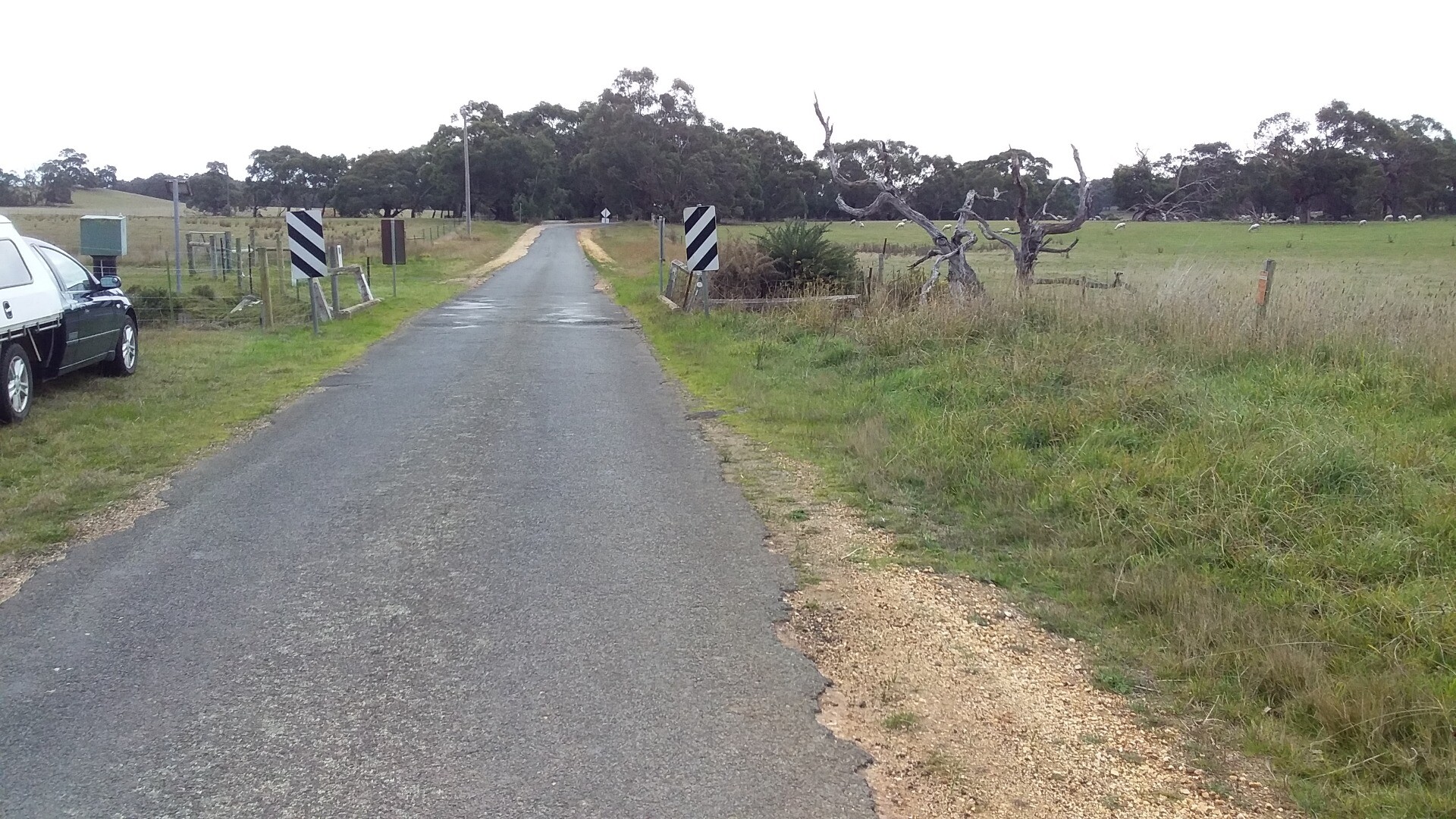
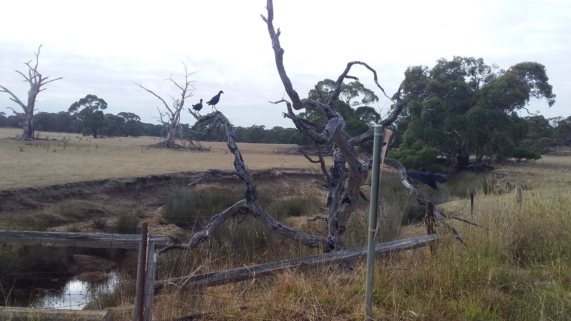
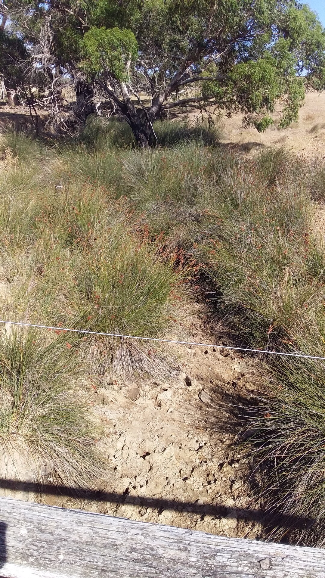
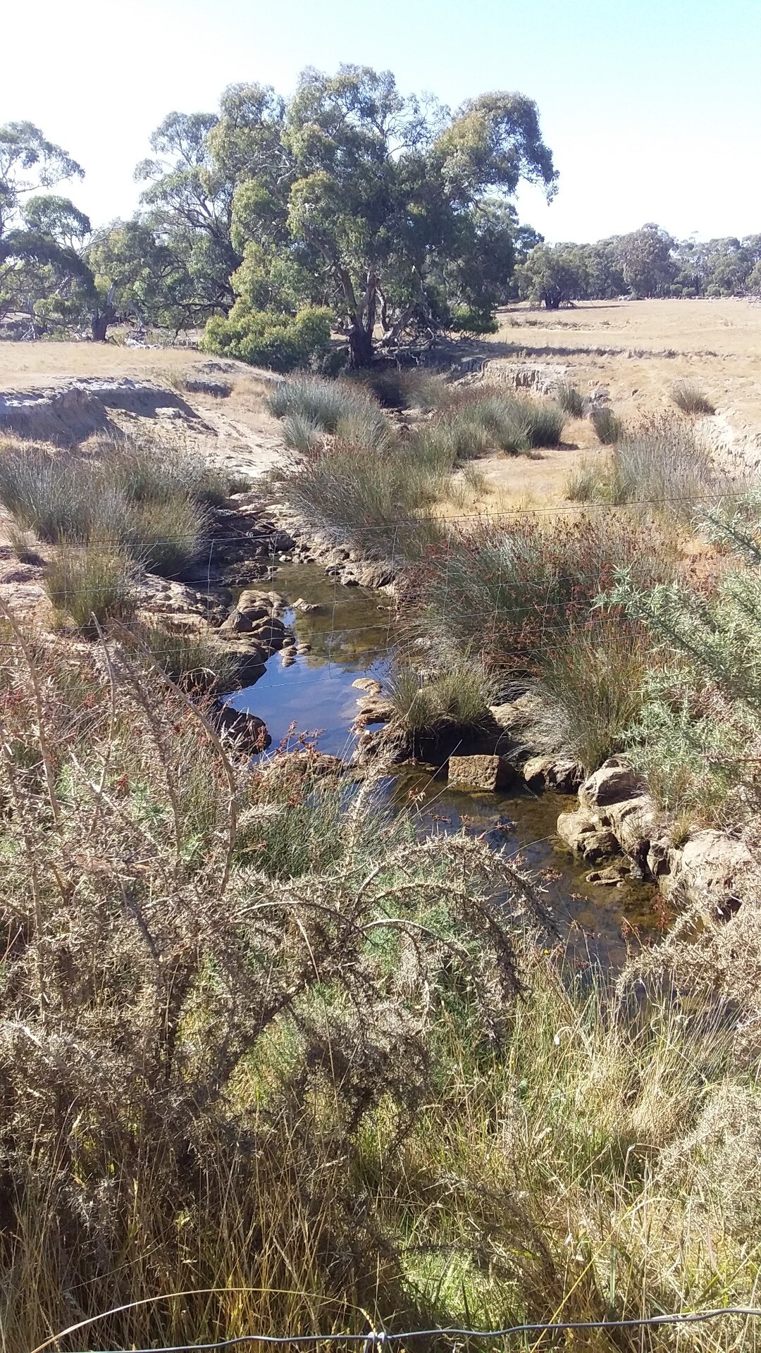
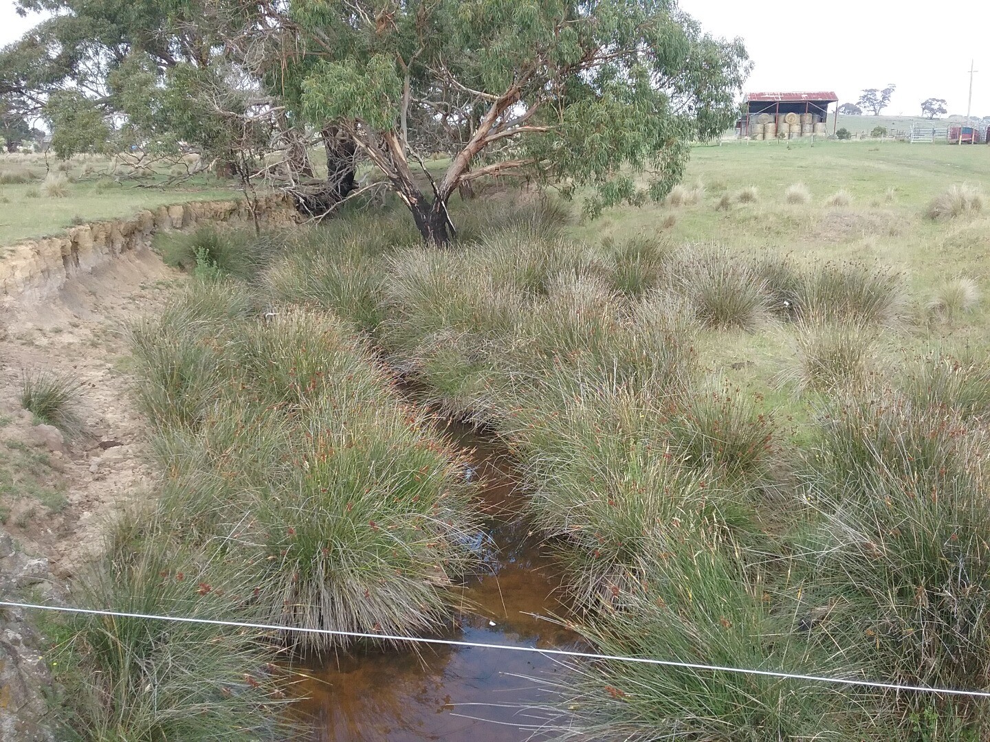
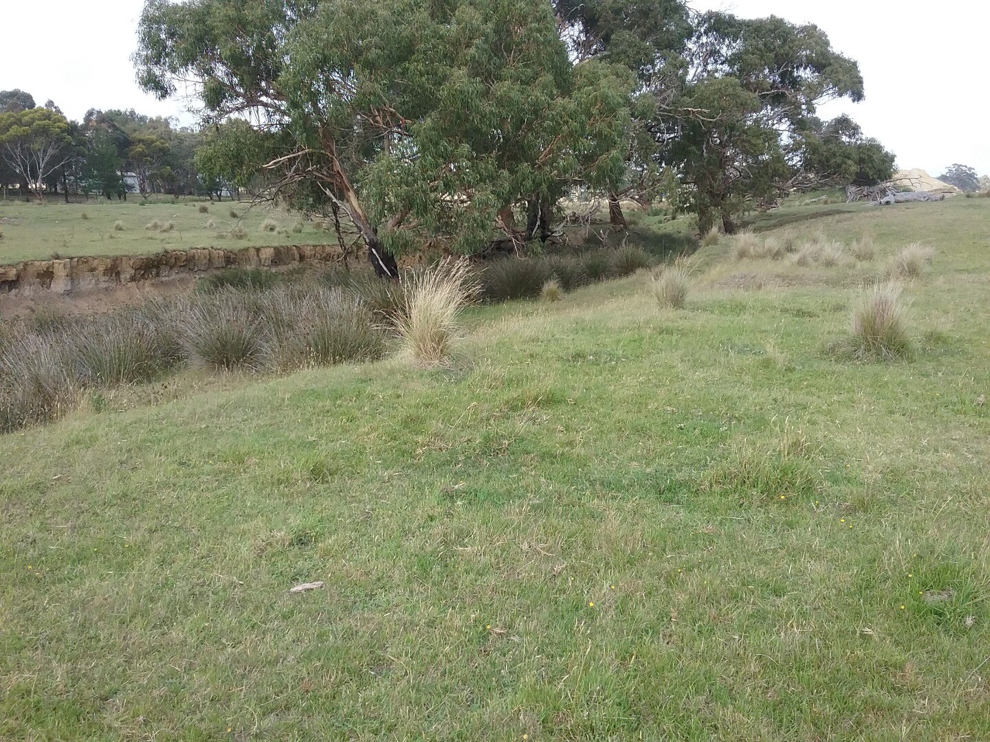
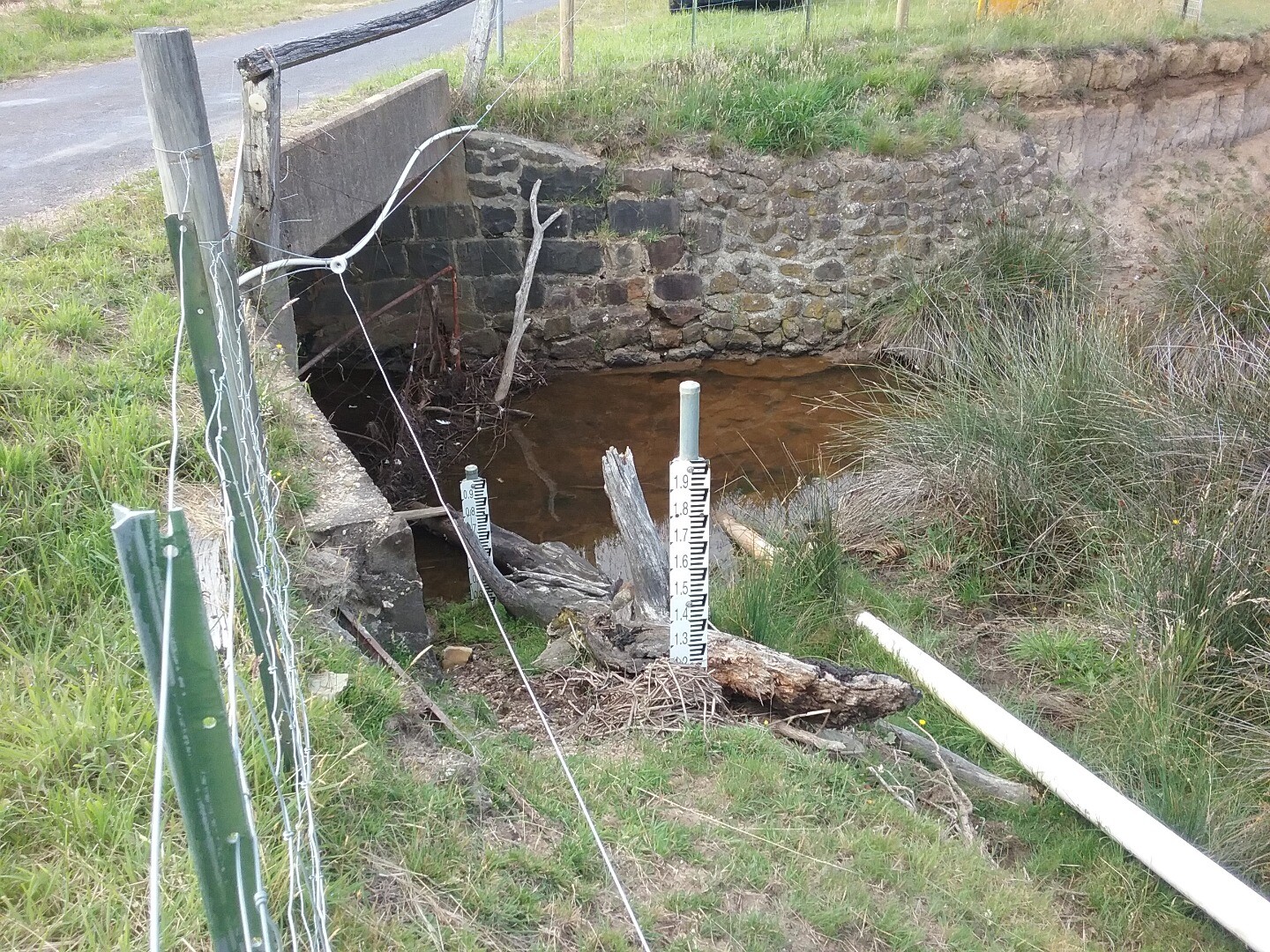
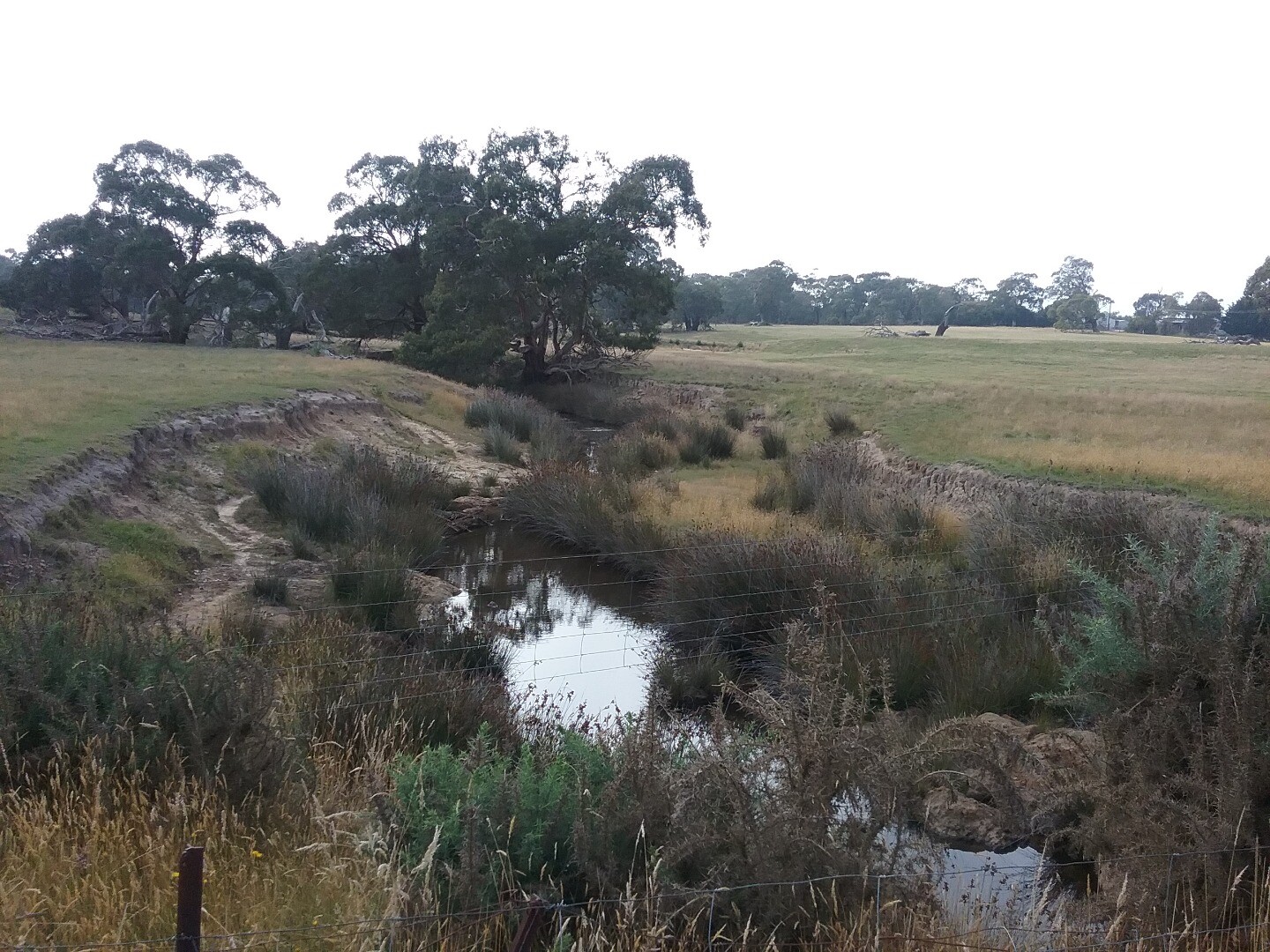
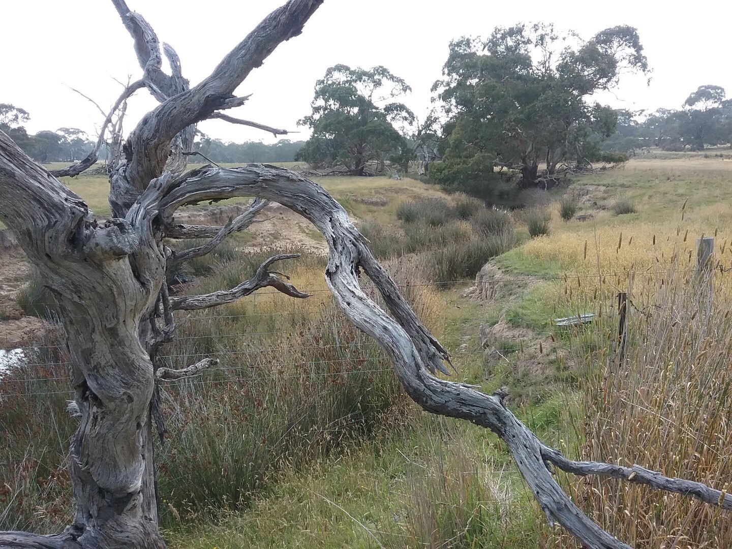
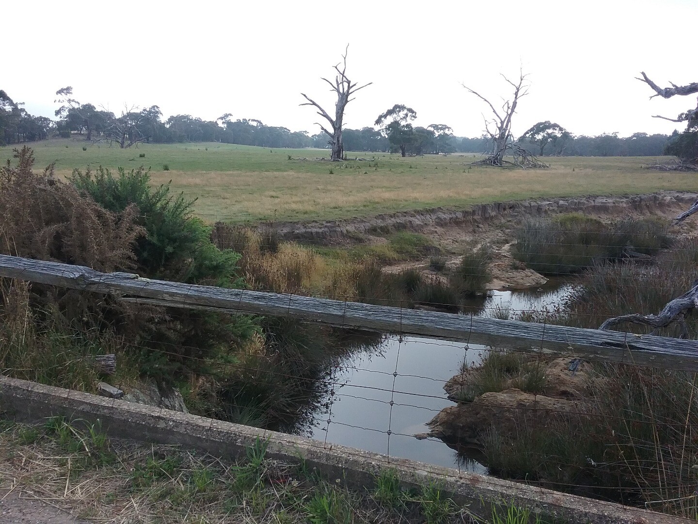
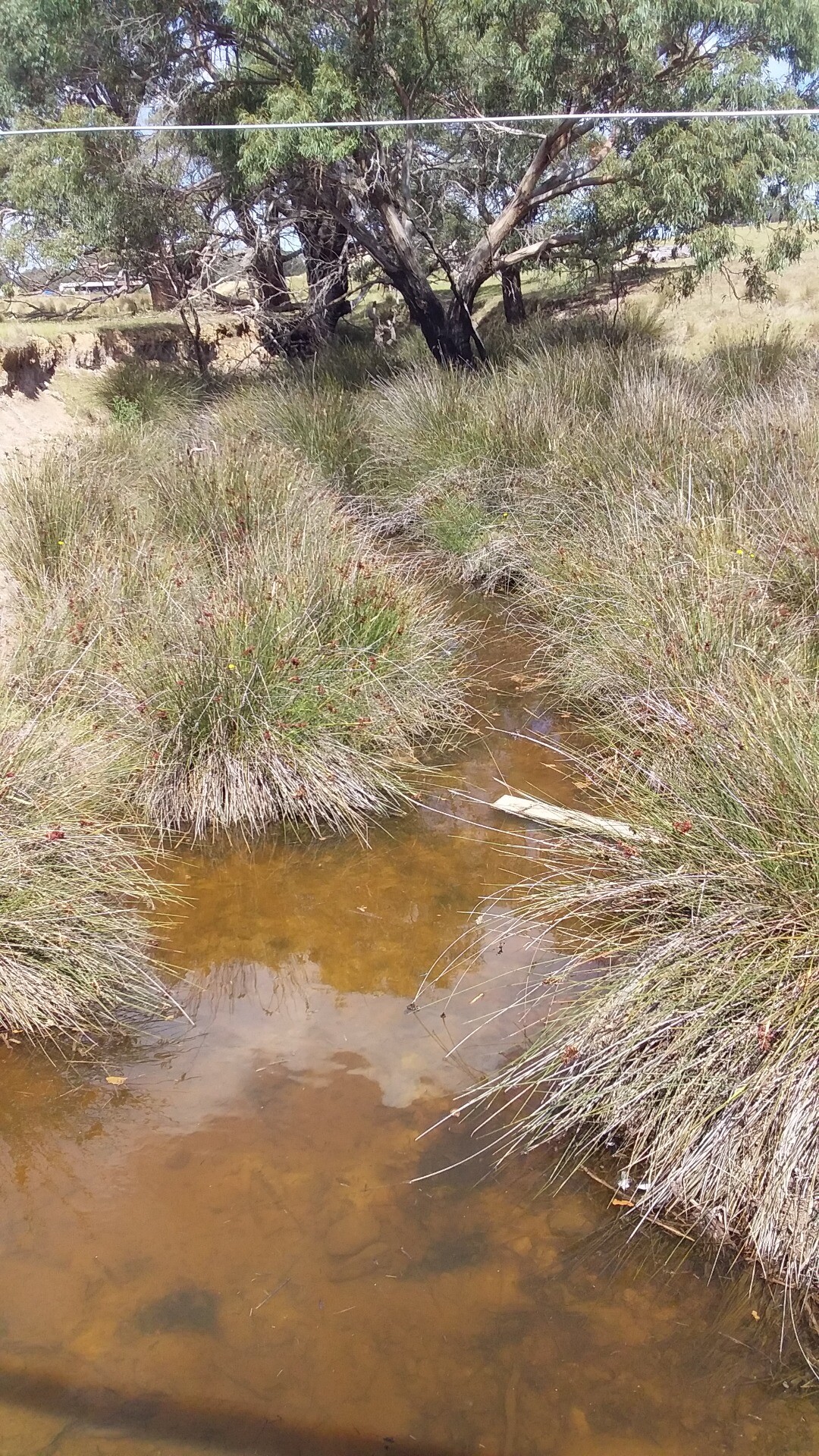
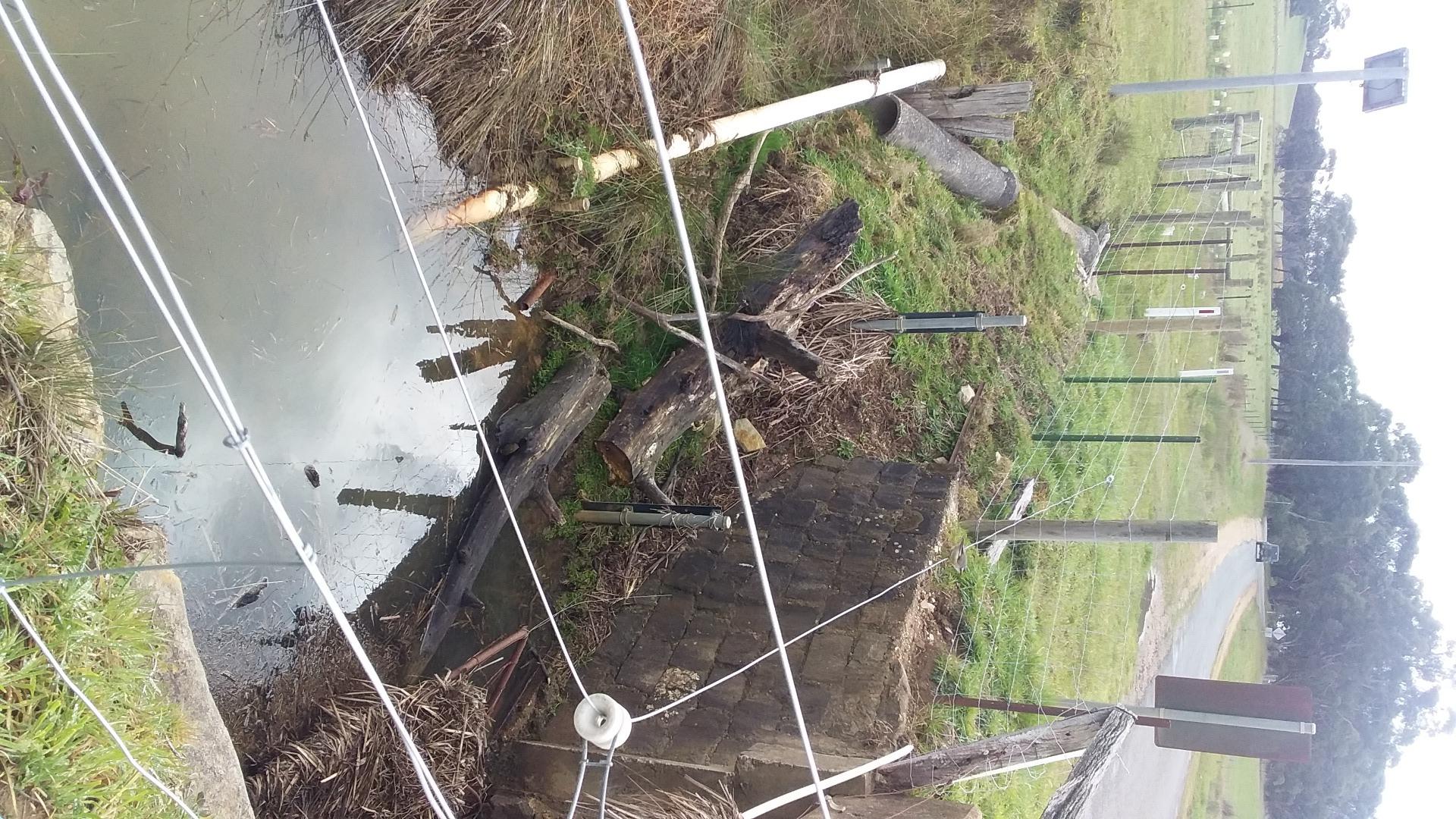
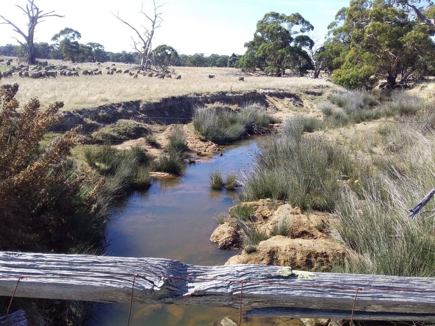
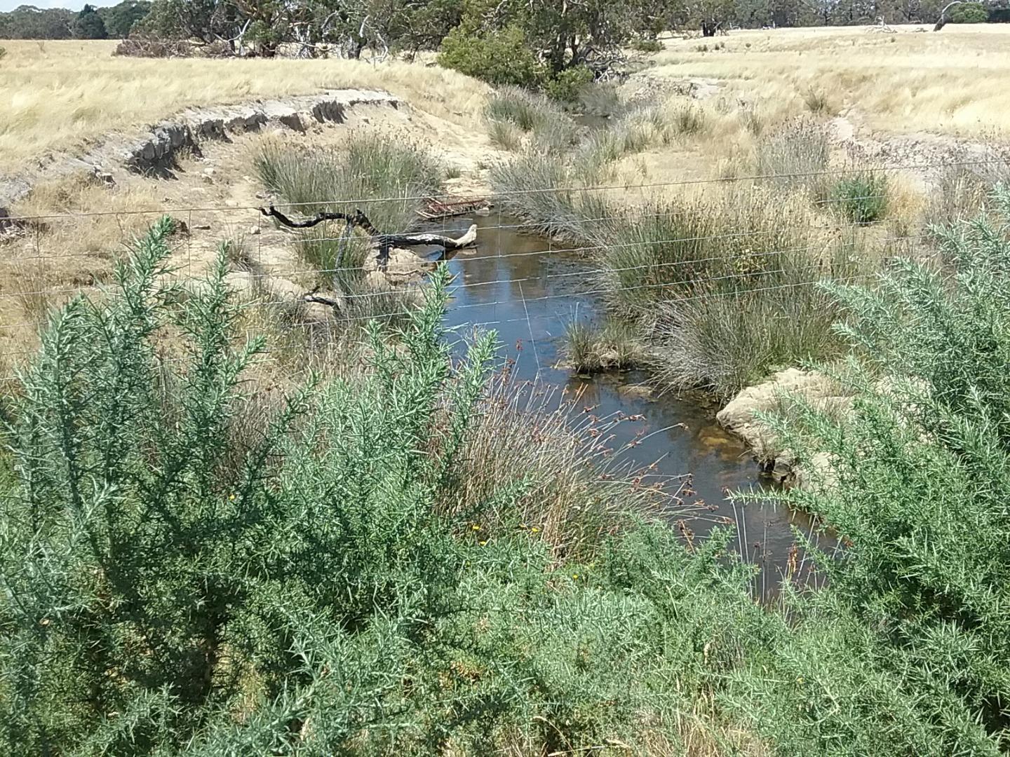
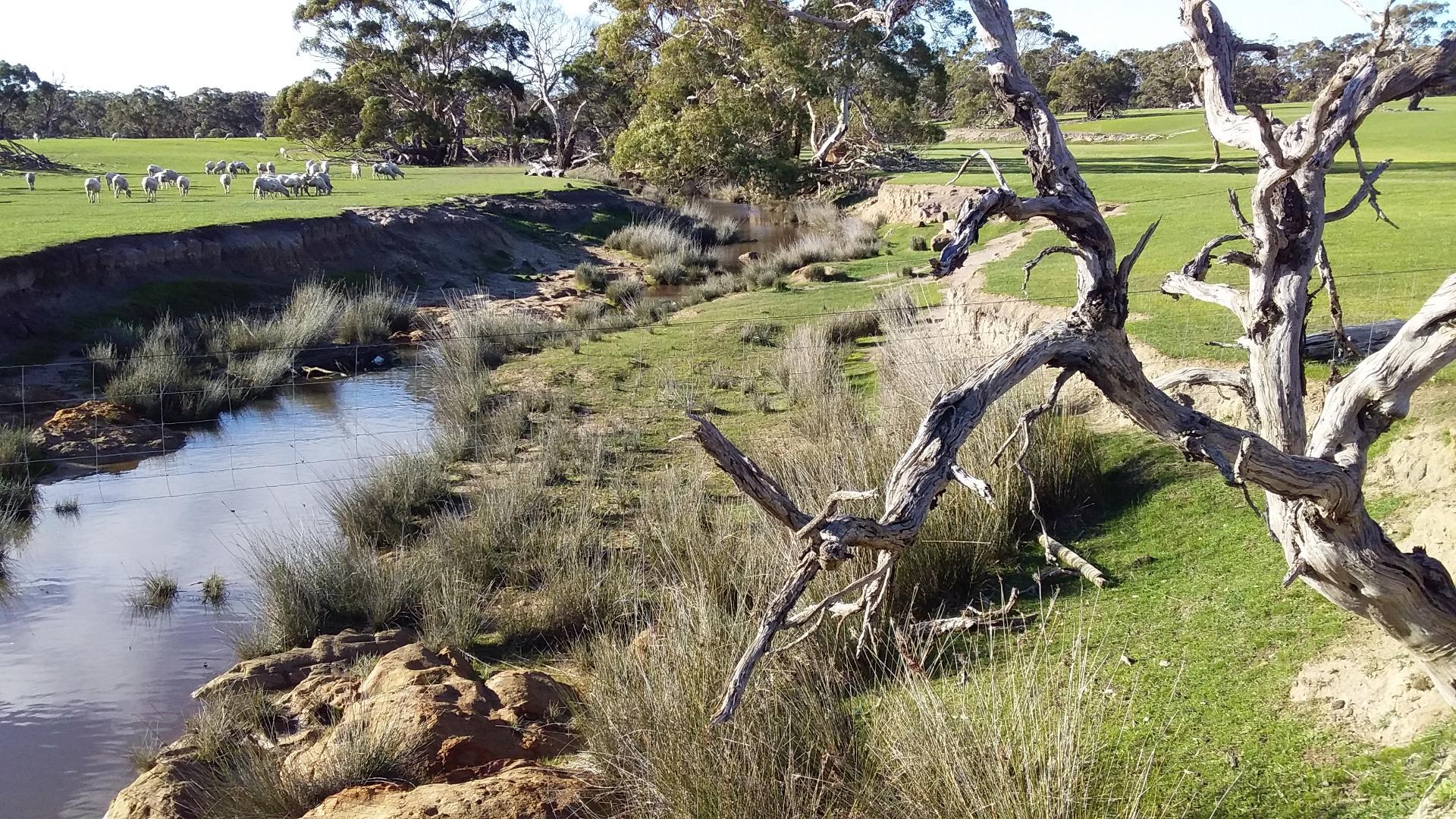
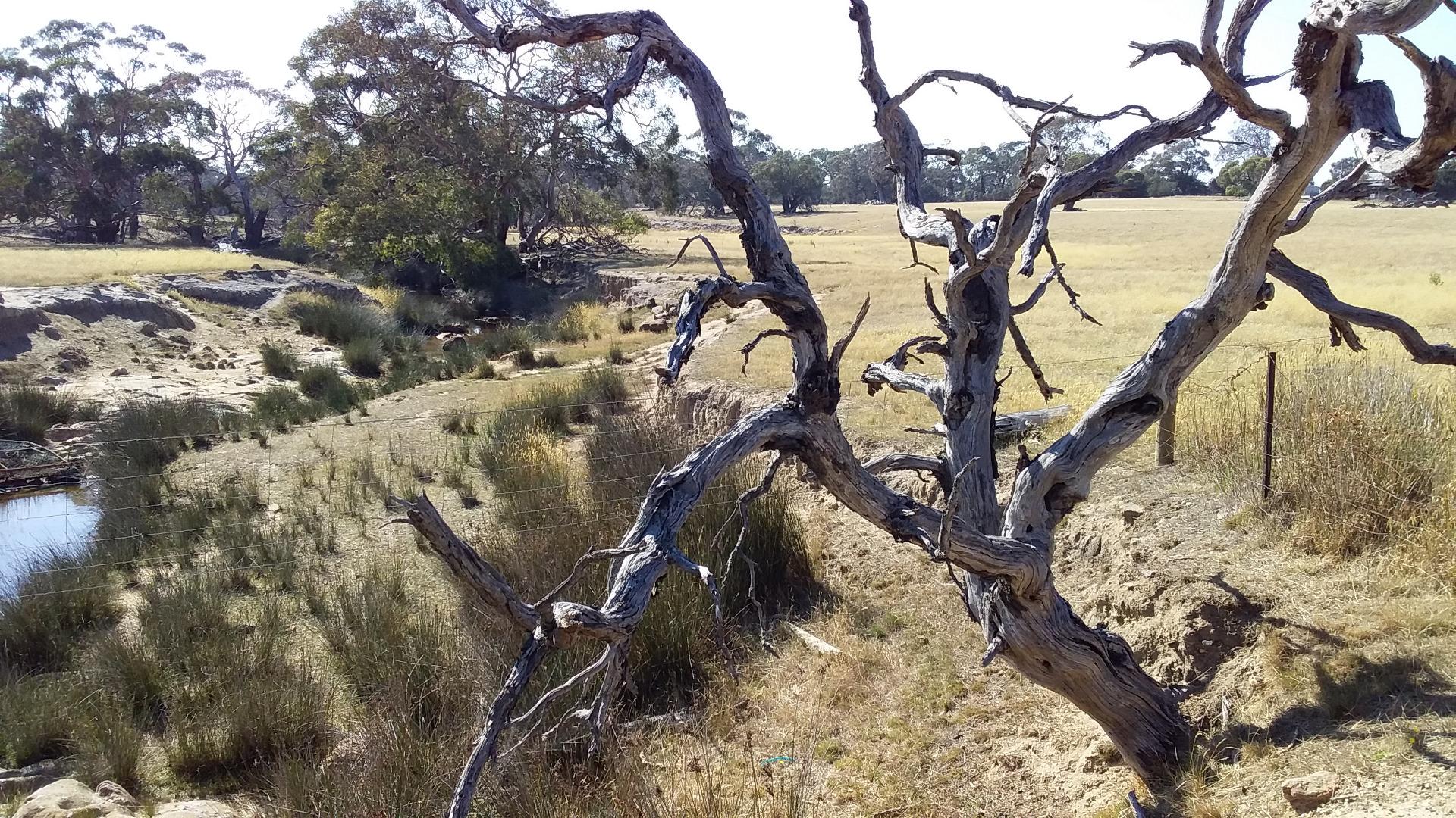
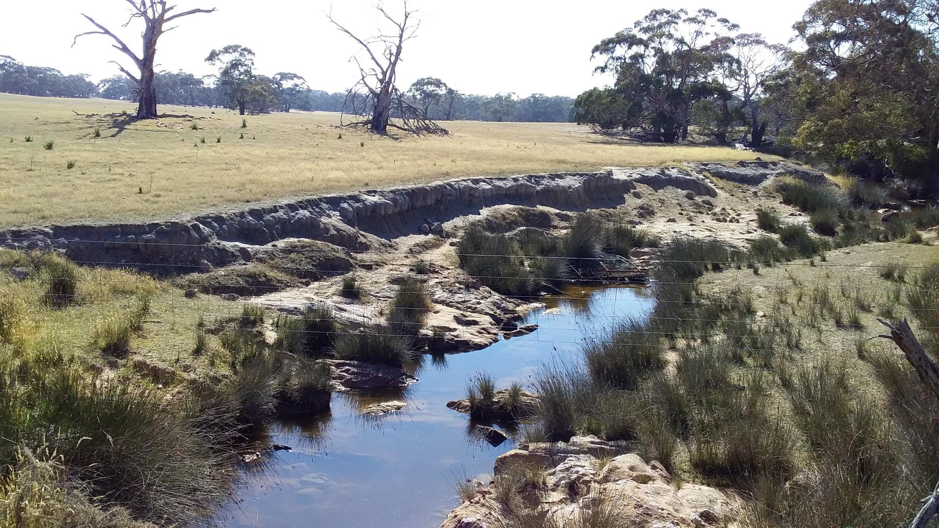
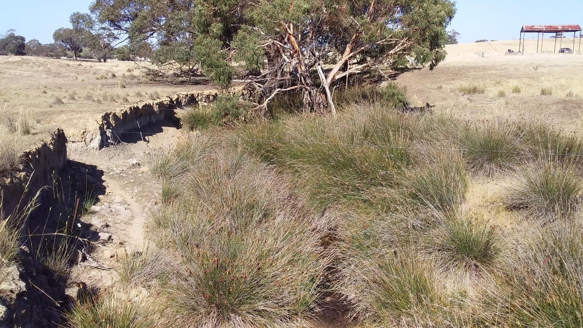
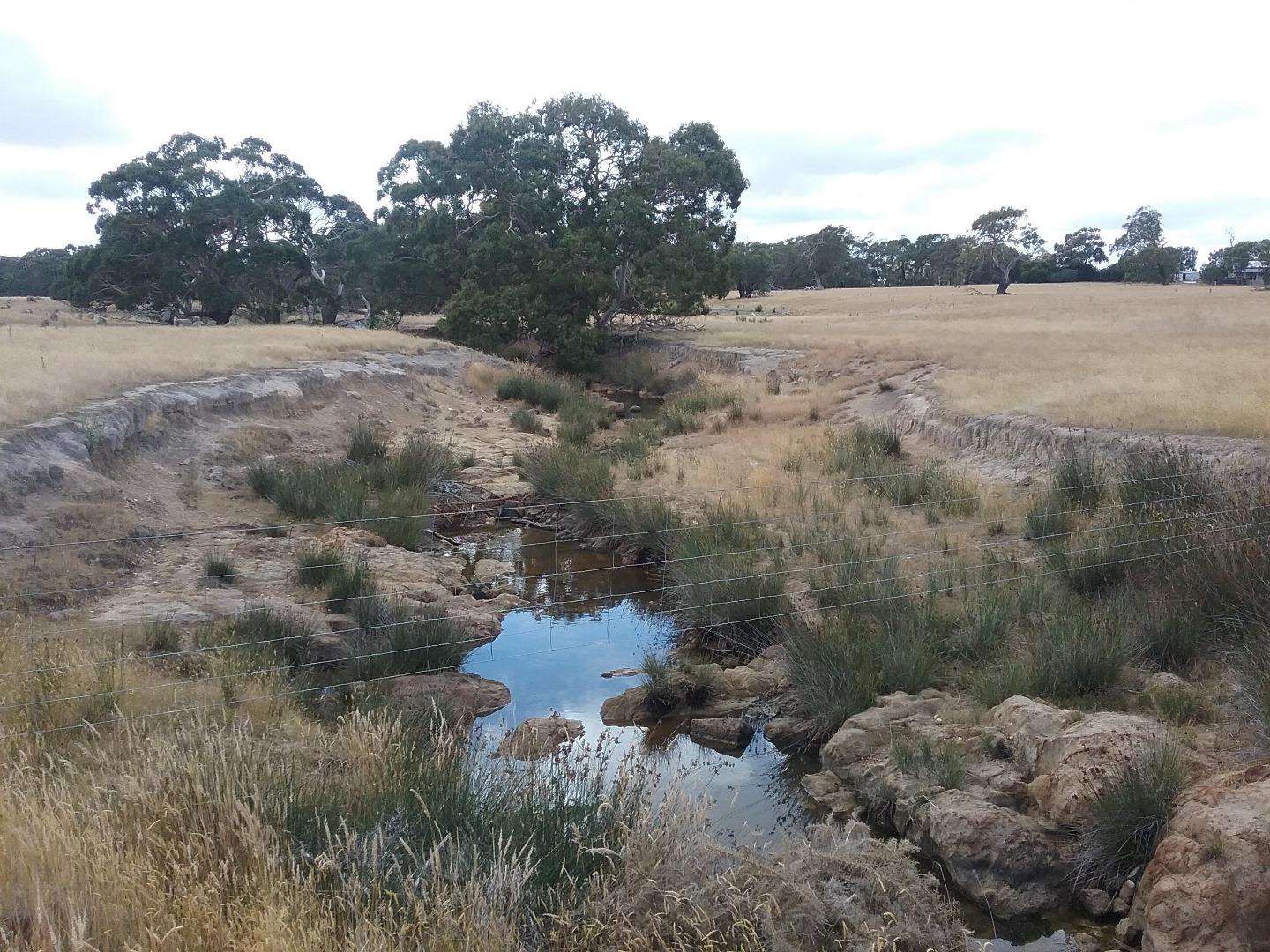
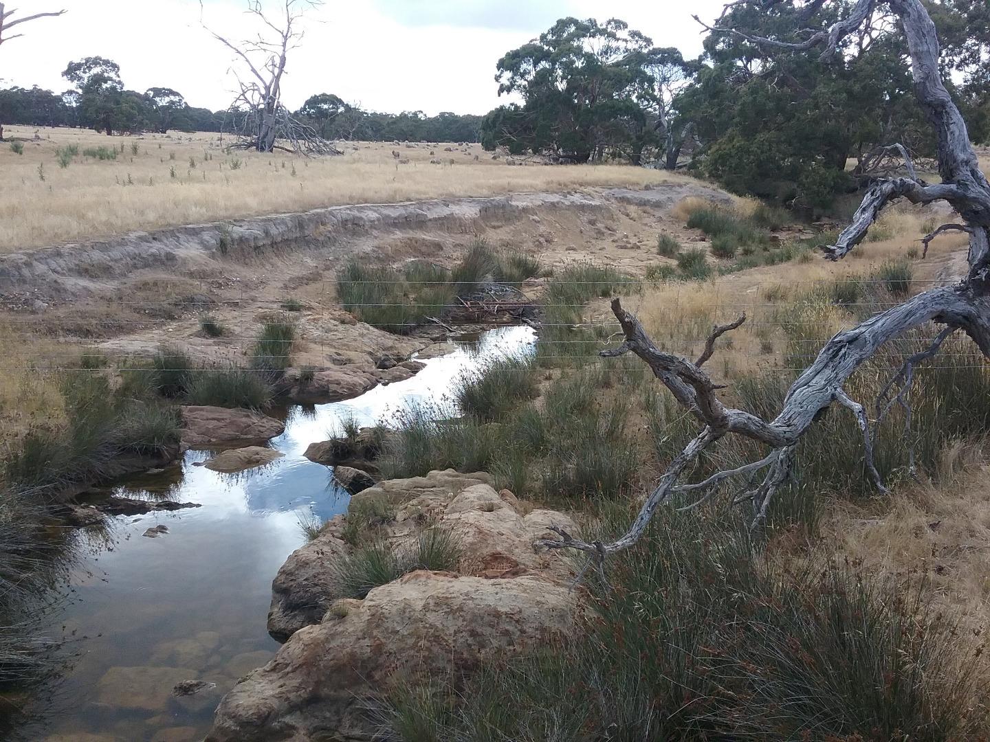
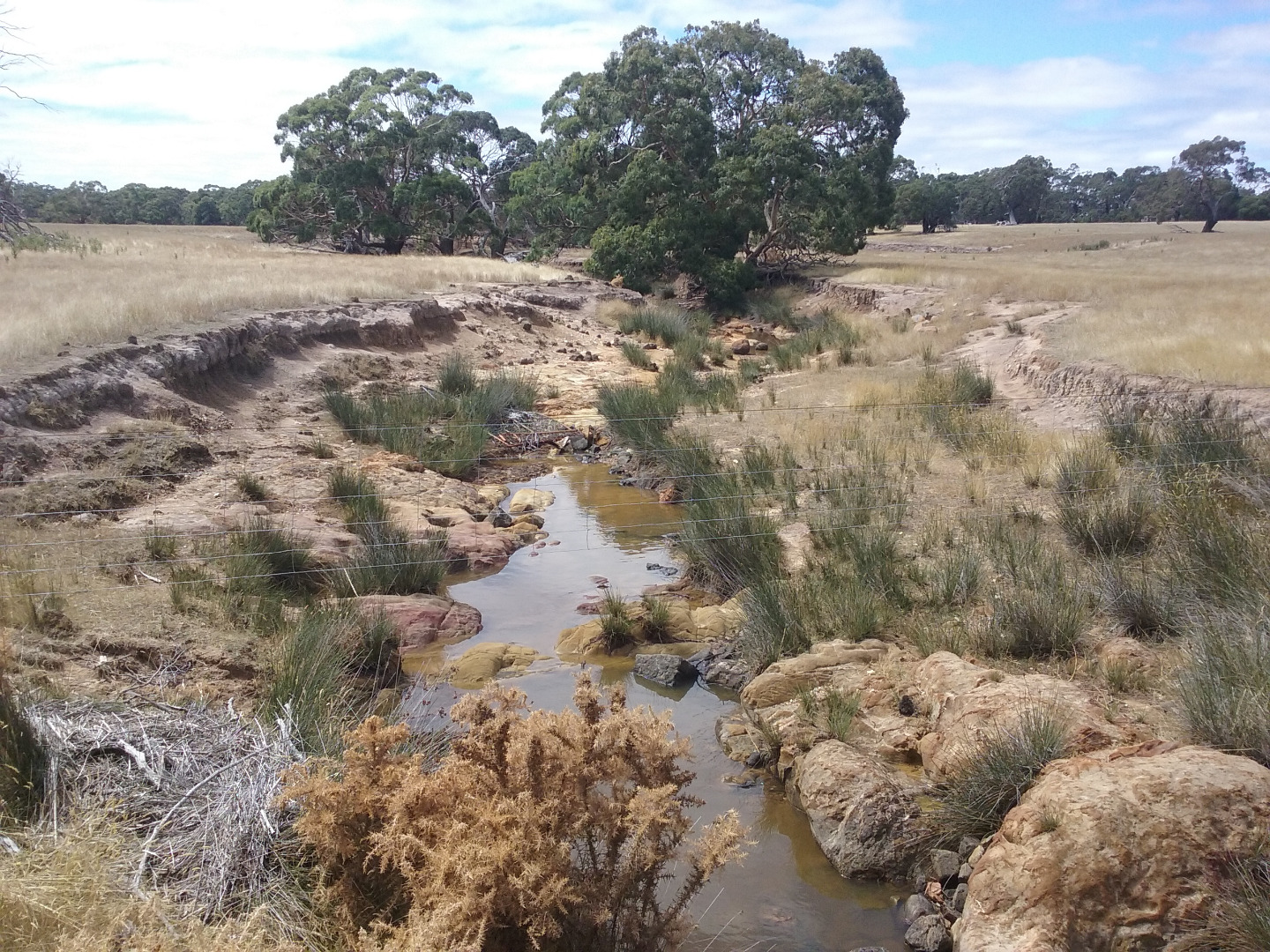
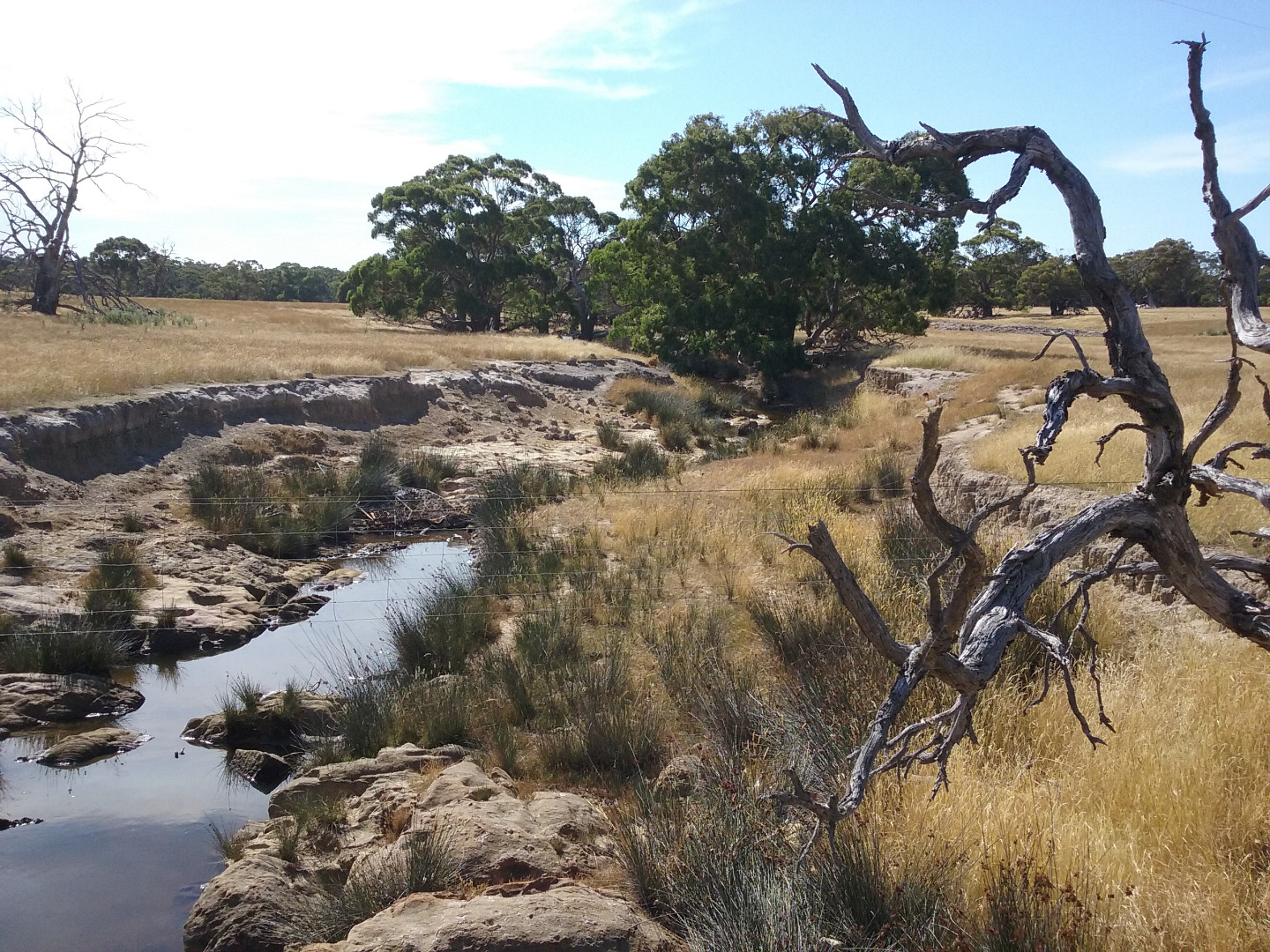
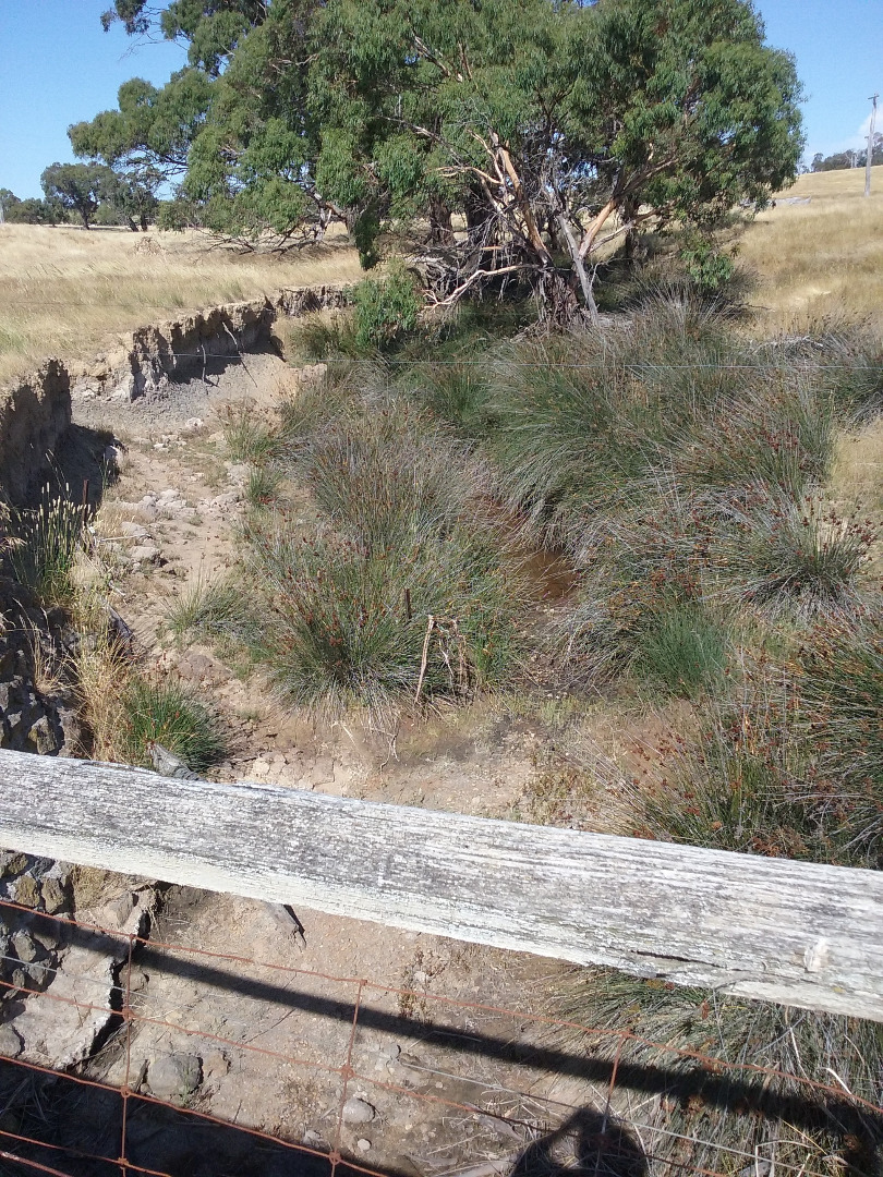
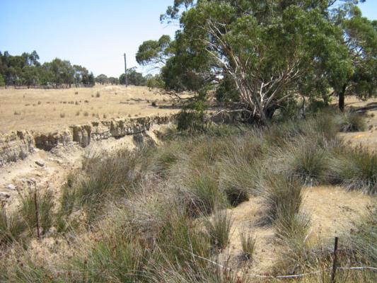
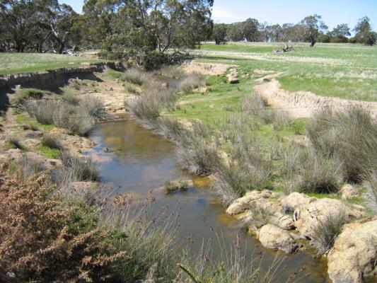
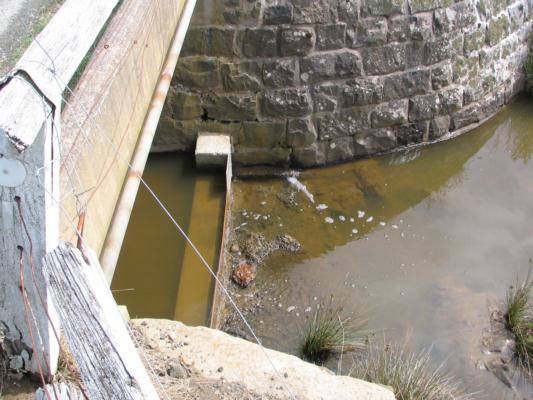
| 23°c Very still, sunny with clouds starting to form, smokey haze due to bushfires in the Otways. (Yesterdays temperature reached 43°c here) There were a few small birds and some Magpies that flew away as i pulled up, lots of annoying flies that wouldn't fly away. The creek is not flowing, there are large pools looking downstream, stained geen near the bridge, stained brown or muddy looking further down. Upstrea i can spot some wet mud amongst the rushes but no pools. I have marked the in-stream cover down from 2024 as there appears to be less in-stream cover looking downstream from back then. (The safety rail on the bridge has fallen over) | |||||
| January 2024 | Poor | Poor | Fair | Fair | VeryPoor |
Please refer to diary files and photos for notes and photos on habitat survey. |
|||||
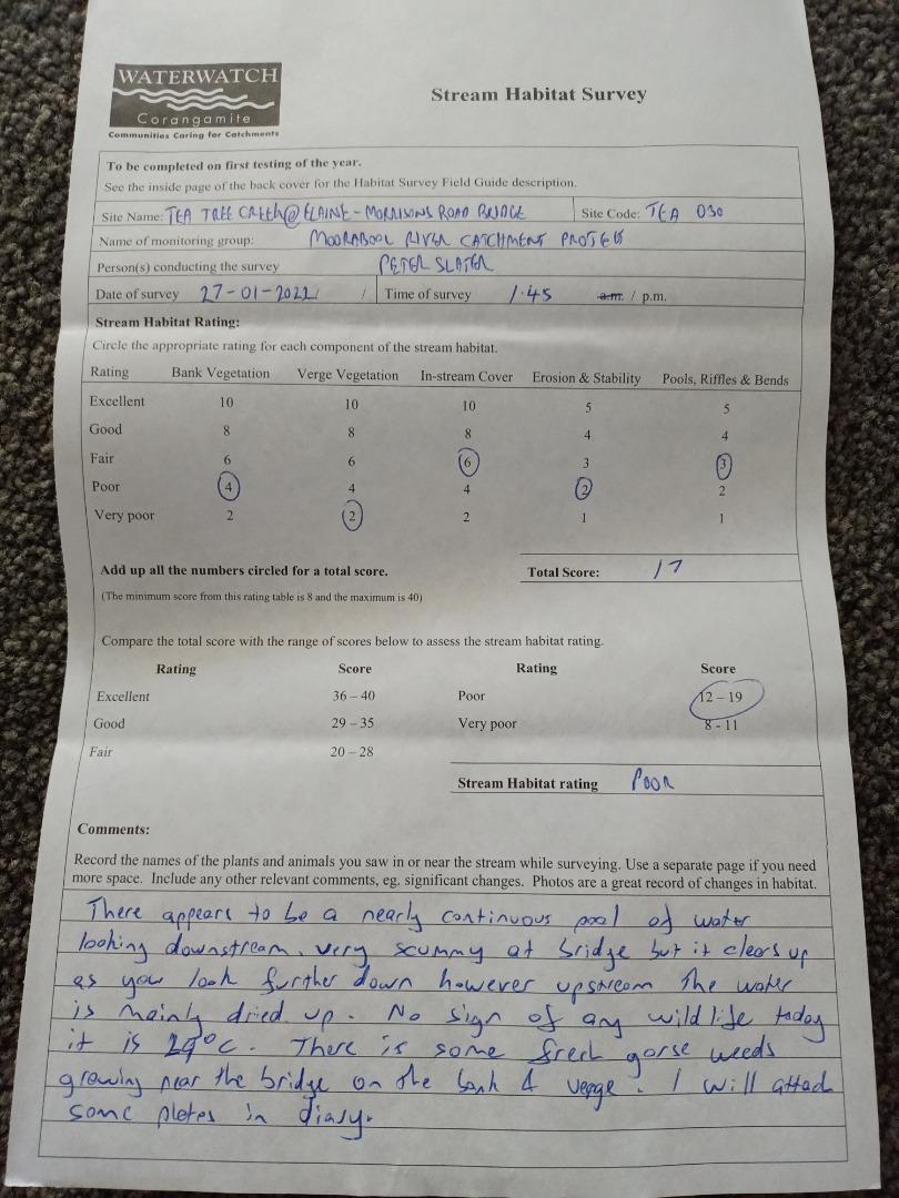
| January 2022 | Poor | Poor | Fair | Fair | VeryPoor |
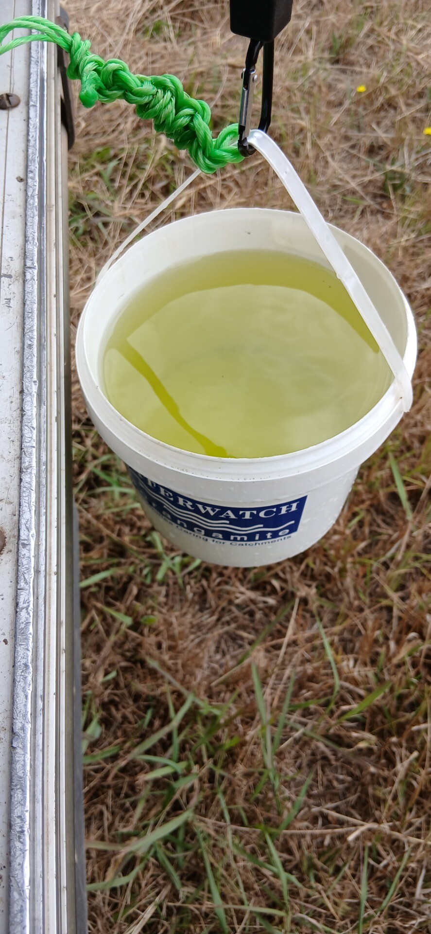
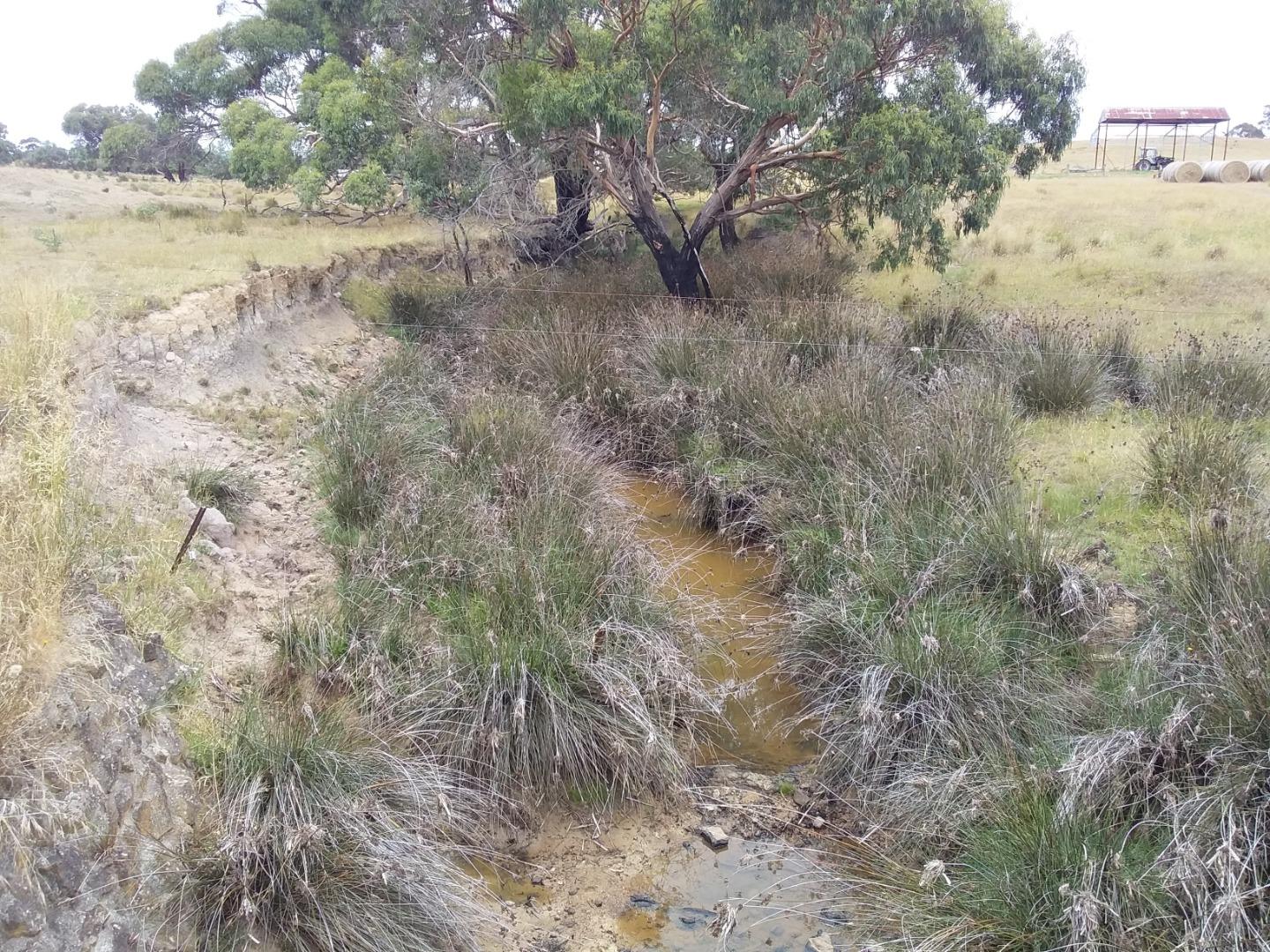
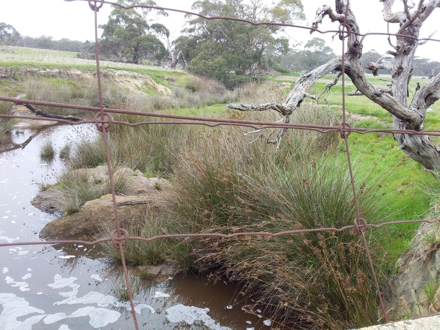
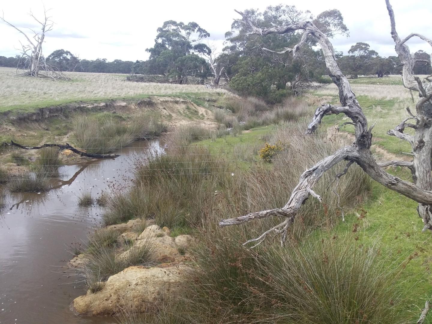
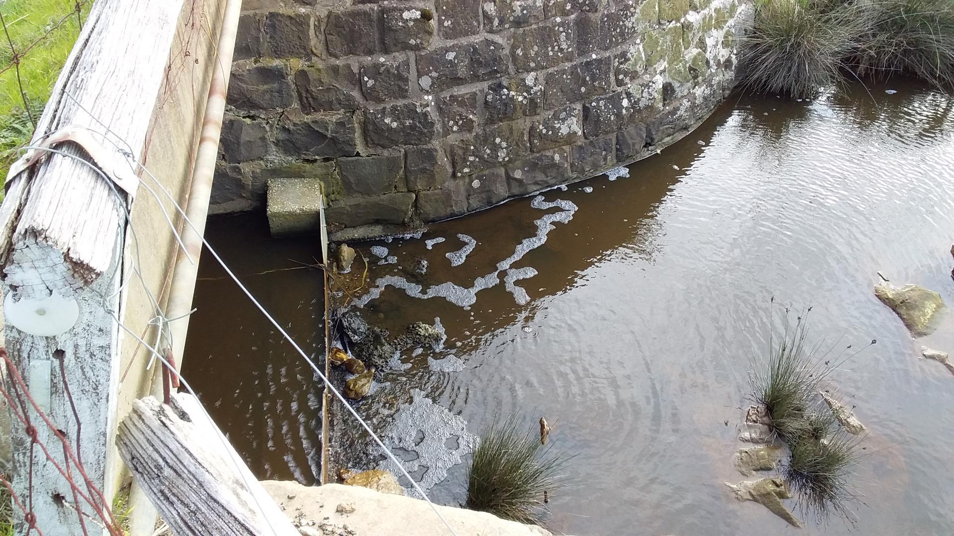
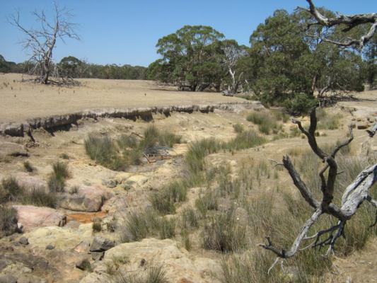
There appears to be a nearly continuous pool of water looking downstream very scummy at the bridge but clears up as you look further down however upstream the water is mainly dried up. No sign of any wildlife today it is 29°c. There is some fresh gorse weeds growing near the bridge on the bank and verge. I will attach some photos in diary. |
|||||
| January 2022 | Poor | Poor | Fair | Fair | VeryPoor |
There appears to be a nearly continuous pool of water looking downstream. Very scummy at bridge but it clears up as you look further down, however upstream the water is mainly dried up. No sign of any wildlife today it is 29 degrees. There is some fresh gorse weeds growing near the bridge on the bank. I will attach some photos in diary. |
|||||
| January 2019 | Poor | Poor | Fair | Fair | VeryPoor |
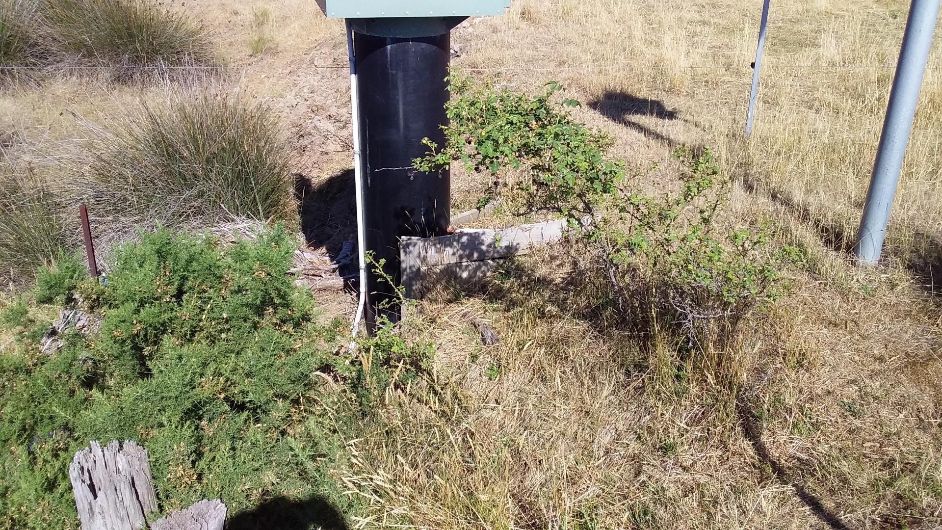
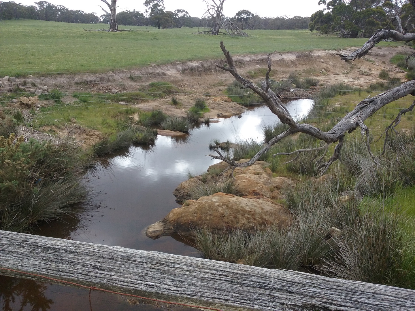
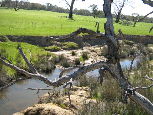
The water is not flowing, there are large connected ponds downstream of the bridge with a scummy appearence close to the bridge which changes to a stained brown appearence as you look further away. Looking upstream mostly hidden by the instream rushes there appears to be some small puddles drying out to damp ground as they emerge from the rushes. In a nearby upstream tree I can see a Magpie feeding its baby while a Wattle bird watches on. There are a lot of Butterflies around and I can hear other birds singing in the distance, there are no farm animals to be seen today. There is a Gorse and a Blackberry bush just starting to take off near the monitoring station. Bank errosion does not appear to be any worse than usual. Photos in Diary |
|||||
| January 2018 | Poor | Poor | Fair | Fair | VeryPoor |
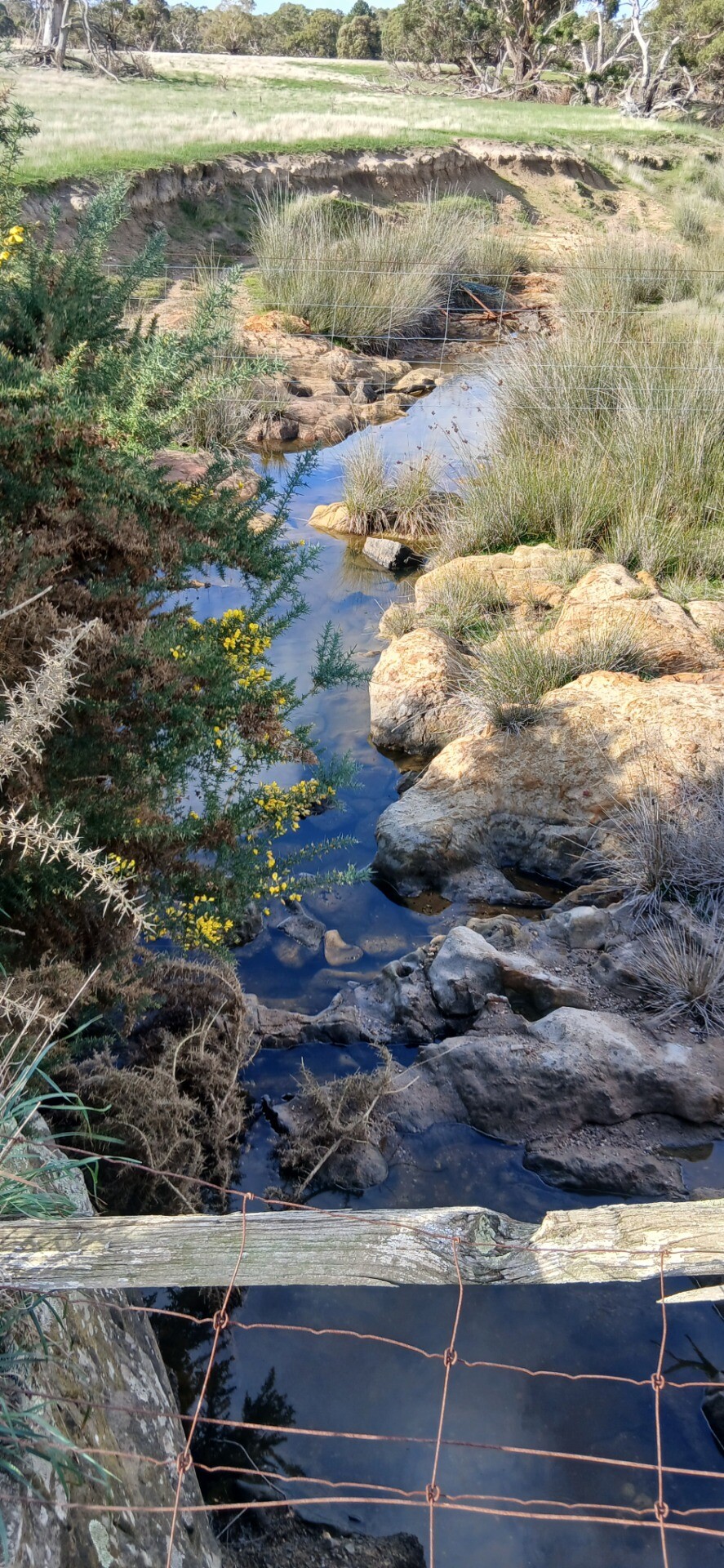
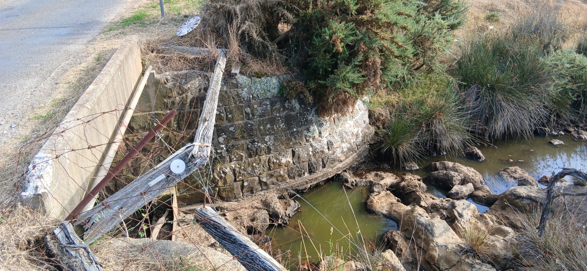
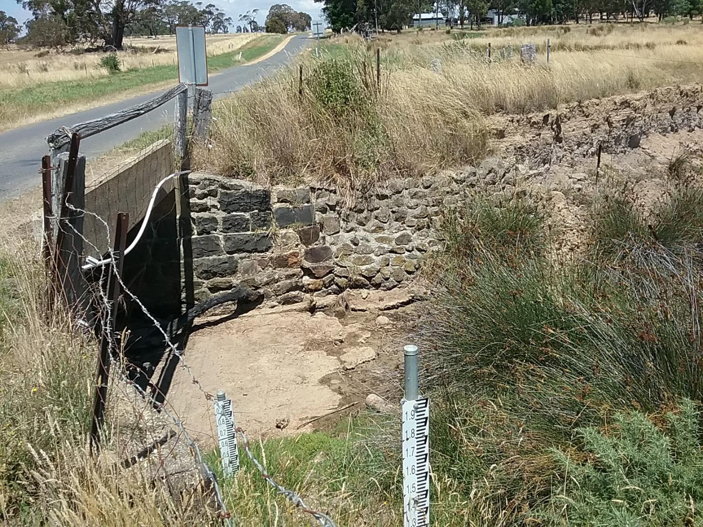
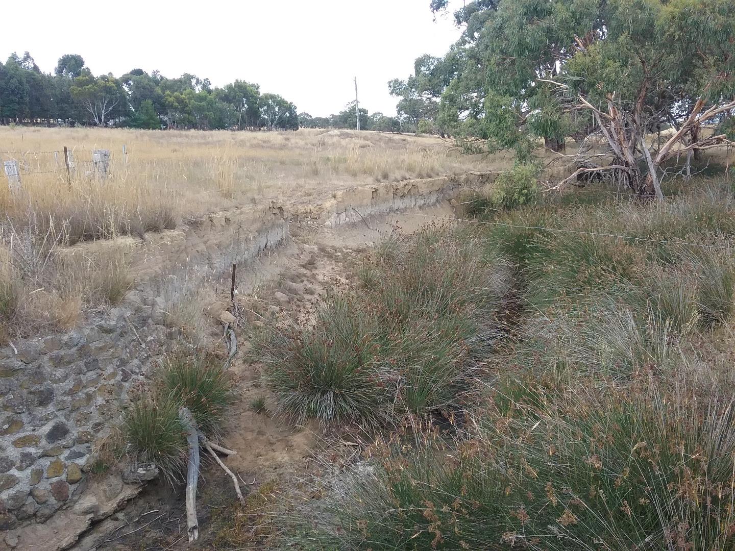
Erosion on the southbank upstream side of bridge (referred to last year) seems to have steadied off this year. Site looks much the same as last year. There are only pools of water here and there with the pools close to the bridge appearing scummy and green, the bigger pools further away appear to be a lot clearer. There are a few sheep in the north east paddock, not much else around that i can see. |
|||||
| January 2017 | Poor | Poor | Fair | Fair | VeryPoor |
Overall not a very nice looking site. Paddocks up and dowwnstream from the bridge run into the creek with no fences to limit stock access. The creek is not flowing, there are only pools of water (some of which are large pools mainly on the downstream side of the bridge) here and there which is often how this site looks. Errosion on the southbank upstream side of the bridge seems to have accelerated particularly in one spot where it seems that livestock could have easy access now. There were a couple of Galahs sitting on the dead tree at the bridge when I arrived but nothing else around that I can see not even any livestock anywhere. Photos in diary. |
|||||
| January 2016 | VeryPoor | Poor | Fair | Fair | VeryPoor |
| See diary for comments and photos. Overall this site looks poor. There has been no significant improvement since I first looked at this site in June 2007. Although the erosion appears to be a little worse in places since then. It really has not changed a lot when you compare old photos (which surprises me given the exposed banks and the flood events we have had over that time). | |||||
| February 2010 | Good | Good | Fair | Fair | Excellent |
| Photos on record. | |||||
| January 2009 | Excellent | Good | Good | Fair | Excellent |
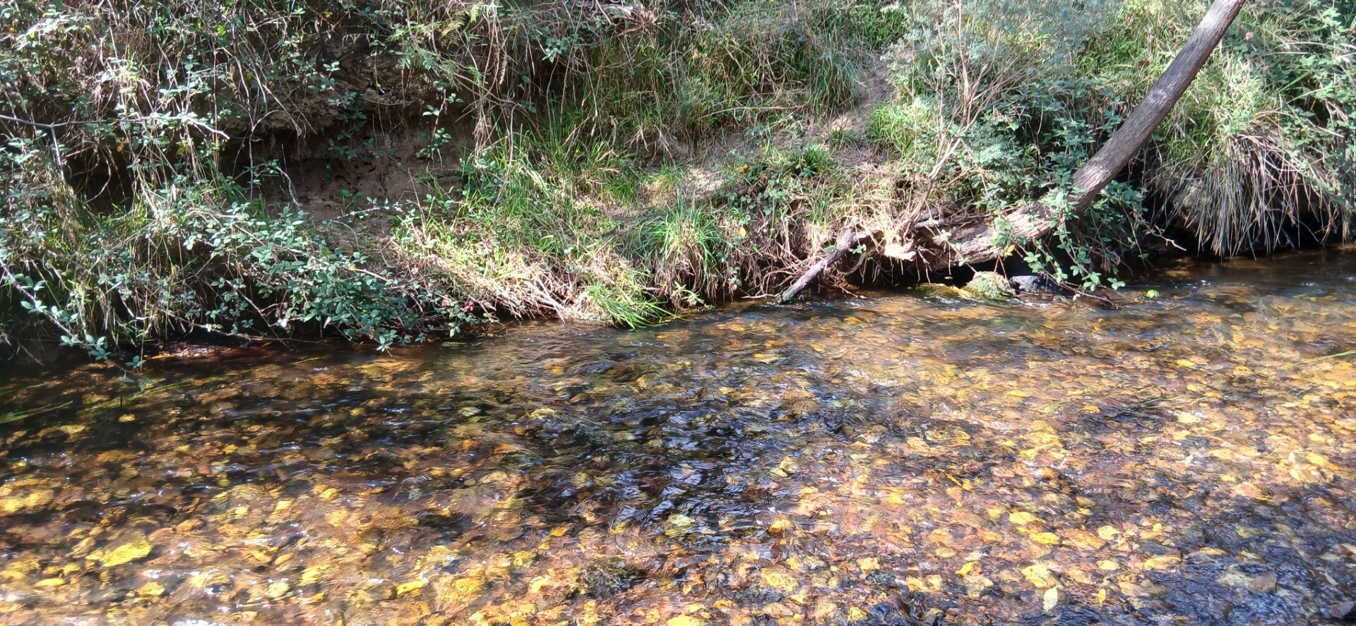
| The creek is not fenced from stock at all. There were sheep grazing in the paddock to the east of the bridge. It appears there has been stock on the west side of bridge south paddock. All the banks are badly eroded except for the bank on the west sie of the bridge in the north paddock.The rushes to the west are still about the same as last year. The creek is not flowing. The grass is dead. Could not see any wildife. No significant changes from last year. The gum trees further up and down stream look healthy. The tree nest to the bridge is definitely dead as it has been since I have been testing this site. | |||||
| September 2008 | Good | Good | Good | Fair | Excellent |
| see photo's. Much the same as last year. Except the grass is greener for and the rushes looking West are a bit bigger. | |||||
| June 2007 | Good | Good | Good | Fair | Excellent |
| sheep, cows near creek. Dead tree. Young gum tree and old gum tree looking westward. Lots of rushes in creek and on bank lookingto the West. Looking towards the East banks eroded no plant life.large gums further East. | |||||
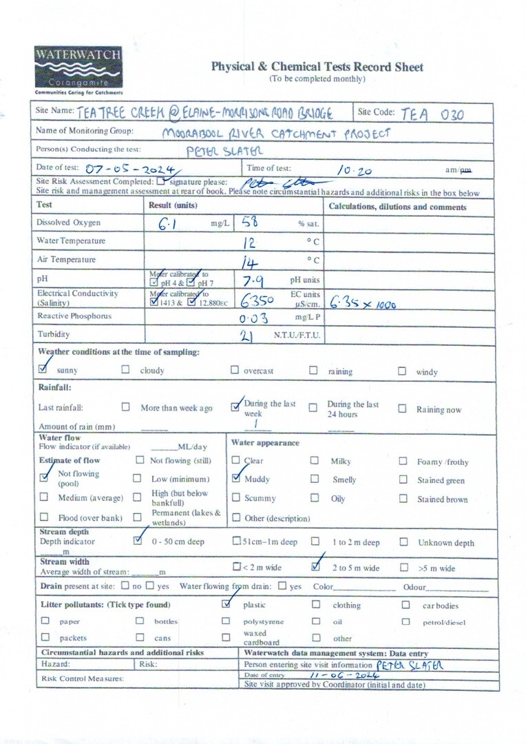
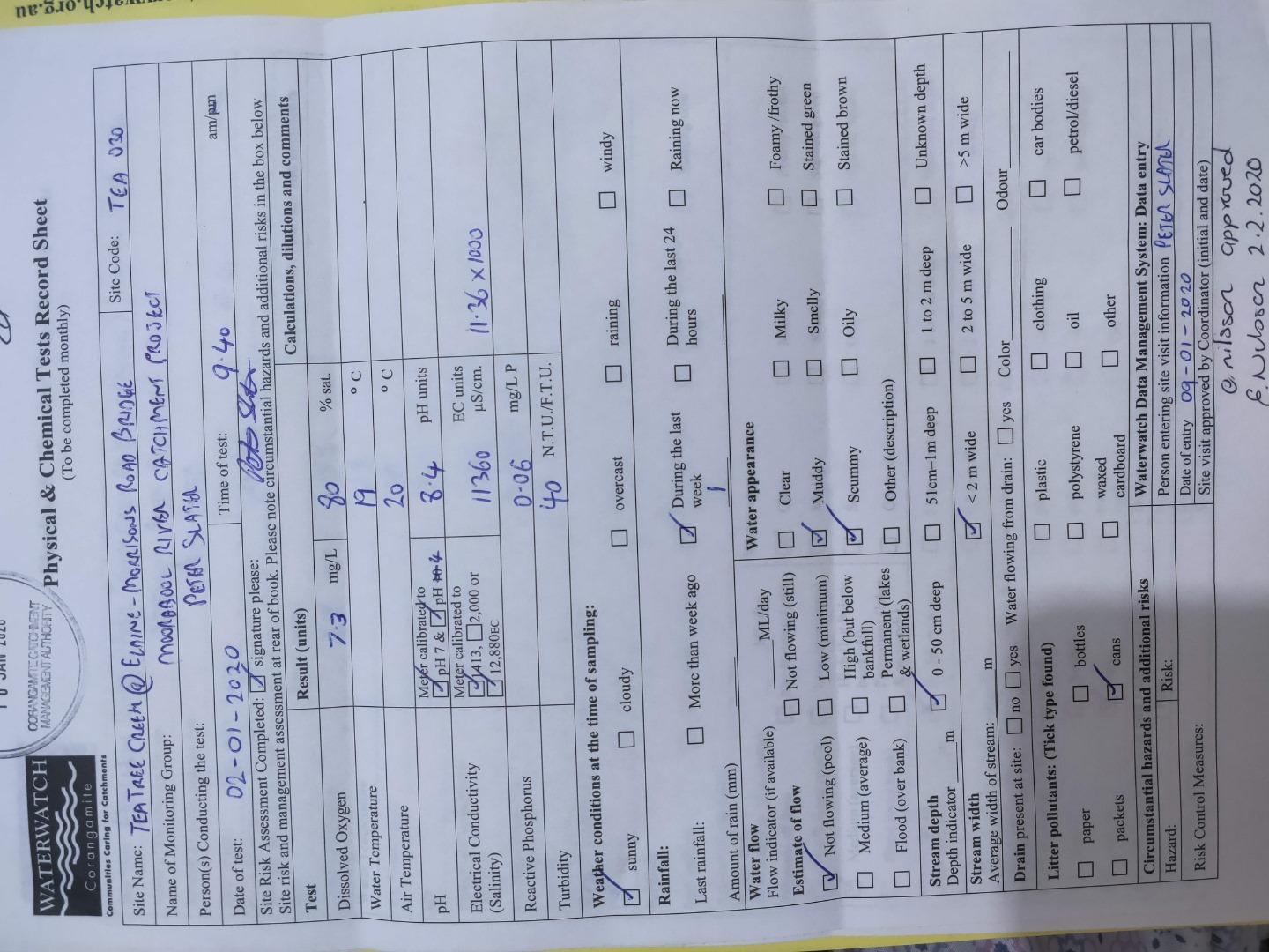
Dissolved Oxygen mg/LExplain for me 05-06-2007 to 31-05-2026
6.95 mg/L
Median 4.30mg/L Latest |
Temperature - WATERExplain for me 05-06-2007 to 31-05-2026
13.8 ° C
Median 10.0° C Latest |
pHExplain for me 05-06-2007 to 31-05-2026
7.95 pH Units
Median 7.60pH Units Latest |
Electrical ConductivityExplain for me 05-06-2007 to 31-05-2026
6680.00 µS/cm
Median 5030.00µS/cm Latest |
Reactive Phosphate (mg/L)Explain for me 05-06-2007 to 31-05-2026
0.020 mg/L P
Median 0.030mg/L P Latest |
Dissolved Oxygen % SaturationExplain for me 05-06-2007 to 31-05-2026
66 %
Median 39% Latest |
Turbidity - NTUExplain for me 05-06-2007 to 31-05-2026
11 NTU
Median 9NTU Latest |
| Dissolved Oxygen Saturation | pH Lower | pH Upper | Electrical Conductivity | Turbidity | Reactive Phosphorus | |
|---|---|---|---|---|---|---|
| % | pH Units | pH Units | µS/cm | NTU | mg/L P | |
| 25th Percentile | 25th Percentile | 75th Percentile | 75th Percentile | 75th Percentile | 75th Percentile | |
2021 to 2026 |
||||||
2026 |
N/A5 visits |
N/A5 visits |
N/A5 visits |
N/A5 visits |
N/A5 visits |
N/A5 visits |
2025 |
||||||
2024 |
||||||
2023 |
||||||
2022 |
||||||
2021 |
||||||
July 2026
July 2026
July 2026
July 2026
July 2026
May 2026
April 2026
April 2026
March 2026
February 2026
February 2026
January 2026
January 2026
January 2026
January 2026
December 2025
December 2025
December 2025
November 2025
September 2025
August 2025
July 2025
June 2025
May 2025
May 2025
April 2025
April 2025
March 2025
March 2025
March 2025
January 2025
January 2025

January 2025
January 2025
June 2024
June 2024
May 2024
April 2024
March 2024
March 2024
January 2024
January 2024
January 2024
January 2024
January 2024
January 2024
December 2023
September 2023

May 2023
April 2023

March 2023
February 2023

November 2022
October 2022
September 2022

May 2022

March 2022
January 2022

January 2022

January 2022
January 2022
January 2022

January 2022
January 2020
August 2019
July 2019
January 2019
January 2019

January 2019
January 2019
January 2019
January 2019

January 2019
January 2019
January 2018
January 2018
January 2018

January 2018
January 2018
February 2017
January 2017
January 2017
November 2016
October 2016
May 2016
May 2016
April 2016
January 2016

January 2016
January 2016
January 2016
October 2014
November 2013
December 2012
 All content, files, data and images provided by the WaterWatch Data Portal subject to a Creative Commons Attribution License
Data portal by CeRDI
All content, files, data and images provided by the WaterWatch Data Portal subject to a Creative Commons Attribution License
Data portal by CeRDI